Table of Contents
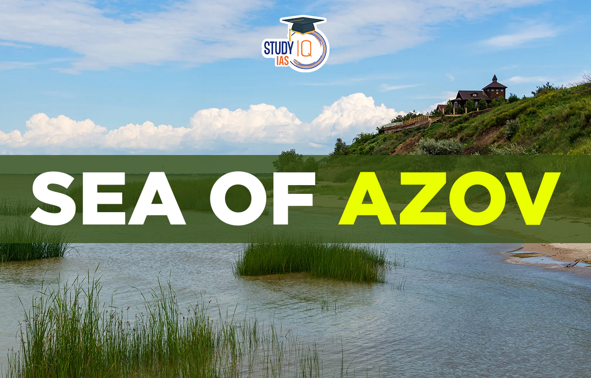
Sea of Azov
The Sea of Azov is named after the ancient Azov fortress on the Don River. It covers about 39,000 square kilometers and has a coastline of 2300 kilometers. Most of the northern coast is in Ukraine while the rest of the northern and eastern coasts are in Russia. To the west is the Crimean Peninsula, and to the south, it connects to the Black Sea via the Kerch Strait. The sea is located in a zone between steppe and forest-steppe ecosystems, which helps support a variety of plant and animal life.
Read More: Mediterranean Sea
Sea of Azov Geography
The Sea of Azov is an inland sea in Europe located between Ukraine and Russia. It is connected to the Black Sea by the Kerch Strait. The sea is about 210 miles (340 km) long and 85 miles (135 km) wide, covering an area of 14,500 square miles (37,600 square kilometers). With a maximum depth of only about 46 feet (14 meters), it is the shallowest sea in the world.
- Russia and Ukraine are located to the north, west, and east of the Caspian Sea.
- The main rivers that flow into the sea are the Don and Kuban.
- The Volga-Don Canal connects the Caspian Sea to Central Asia, providing important access.
- These rivers bring sand, silt, and shells, creating bays, limans, and narrow spits.
- The sea has low salt levels and lots of plant life, including green algae, which affects the water color and supports high fish production.
Sea of Azov Depth
The Sea of Azov is the shallowest sea in the world with depths ranging from 0.9 to 14 meters. Water from the Sea of Azov flows continuously into the Black Sea.
Read More: South China Sea
Sea of Azov Climate
The basin of the Sea of Azov has a temperate, continental climate. There are regular fogs and periods of intense frost. The sea’s northern shores often have stationary ice from late December to early March. Along the coastlines, the sea currents rotate anticlockwise. According to the river influx, the sea’s mean water level might vary by up to 13 inches (33 cm) from year to year. Water level tidal oscillations can be up to 18 feet (5.5 m).
Read More: Atlantic Ocean
Sea of Azov Ports
Although the Sea of Azov handles a lot of freight and passenger traffic, there are several areas where shallow water impedes the movement of large oceangoing vessels. In the winter, icebreakers help in navigation. Taganrog, Mariupol, Yeysk, and Berdyansk are the major ports.
Read More: Ocean Deposits
Sea of Azov Islands
Byriuchyi Island used to be an island but is now a spit that has merged with part of the Fedotova Spit in the northwestern Azov Sea. Together with the small Fedotova Spit, it forms the Utljuk Lyman, which separates it from the sea to the north. Until 1929, this spit was an island connected to the northern Fedotova Spit by a narrow waterway.
Read More: Ocean Tides
Sea of Azov UPSC
The Sea of Azov is a shallow body of water that is shared by both Ukraine and Russia. The Kerch Strait, which connects it to the Black Sea, is its only route to open waters. In 2014, Russia annexed Crimea, establishing authority over the Kerch Strait on both sides.
Read More: Ocean Waves
 Sex Ratio in India 2026: Latest Trends, ...
 Civil Disobedience Movement (CDM): Cause...
 Role of Teachers in Educations, Student ...