Table of Contents
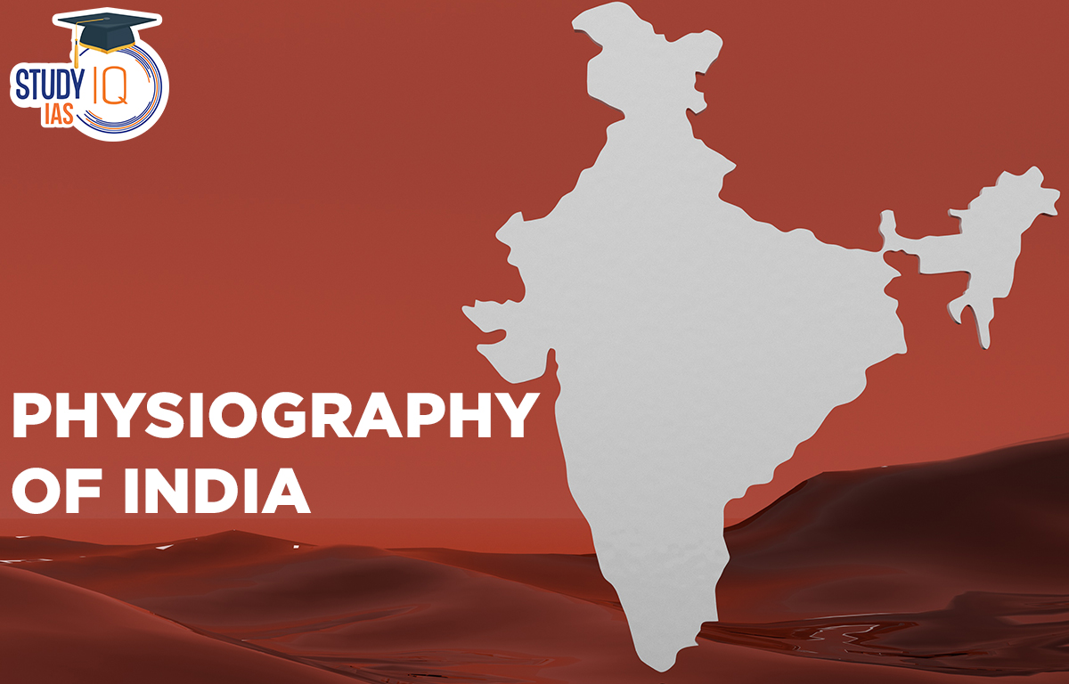
Physiography of India
The physiography of India refers to the country’s diverse physical features and landforms. In the north, there are the Himalayas which affect the climate and rivers. The Northern Plains are large flat areas made of soil deposits and they are very important for farming. The southern part of India has the Peninsular Plateau which is made up of old rocks and plateaus. There are also Coastal Plains along the eastern and western coasts and the Thar Desert in the northwest. Also, India has many islands and river systems.
| Physiography of India |
|
What are Major Physiographic Divisions of India?
India has six physiographic divisions based on the country’s diverse physiographic characteristics:
| India is divided into six Physical regions |
|
Physiographic Divisions of India
Northern and North-Eastern Mountains Structure
The Himalayas stretch from northwest to southwest in the northwestern region. In Nagaland, Manipur, and Mizoram, they run from north to south. The Himalayas includes:
- Kashmir Himalayas: The part of Himalaya is lying between Indus and Satluj is known as Kashmir or Punjab Himalayas which stretches for 560 kilometres. Himalayas acquired height gradually. It is the widest part of the Himalayas with an extension of 250 to 400 kilometres. This region is drained by the river Indus and its tributaries such as Jhelum and Chennai. It is spread in the state of Kashmir. Himachal Pradesh, which includes Jhaskar, Laddakh, Karagaram, Piripanjal and Dhauladhar ranges. The Kashmir Valley are also famous for karewa formations ideal for growing saffron. Dal and Wular are freshwater lakes, while Pangong Tso and Tso Moriri are saltwater lakes.
- Himachal & Uttaranchal Himalayas: This region is drained by the Indus and Ganga river systems stretches between the Ravi and Kali rivers. The northern part extends into the cold desert of Ladakh and contains the Great Himalaya, Lesser Himalayas, and Shiwalik range locally known as Dhaoladhar in Himachal Pradesh and Nagtibha in Uttarakhand and known for its “Dun formations” and “Shiwalik formations,” this area is also home to all five Prayags.
- Darjiling and Sikkim Himalayas: Located between Nepal in the west and Bhutan in the east. This area has deep valleys and the Kanchenjunga peak. The Tista River flows here. The region lacks Shiwalik formations but has “duar formations” suitable for tea gardens.
- Arunachal Himalayas: Stretch from eastern Bhutan to Diphu Pass. Important peaks include Kangtu and Namcha Barwa. The Brahmaputra River crosses Namcha Barwa and flows into a narrow gorge. The region has rich biodiversity protected by indigenous groups. Due to rough terrain there are no transportation links between valleys with most interactions happening in the duar region along the Arunachal-Assam border.
- Eastern Hills and Mountains: Run from north to south. The Barak River flows through Manipur and Mizoram. Loktak Lake in Manipur is surrounded by mountains. The Mizoram region also known as the Molassis Basin has soft unconsolidated deposits. Rivers in Nagaland are tributaries of the Brahmaputra while those in eastern Manipur flow into the Chindwin River which flows into Myanmar’s Irrawaddy River.
Northern Plains Physiology of India
The Northern Plains of India were formed by alluvial deposits from the Indus, Ganga, and Brahmaputra rivers. These plains stretch 3200 km from east to west and have alluvium deposits up to 2000 meters deep.
The plains are divided into three parts:
- Bhabar: A narrow belt parallel to the Shiwalik foothills.
- Tarai: Located south of Bhabar, this area has lush natural vegetation and no clearly defined channels.
- Alluvial Plains: Located south of Tarai, these include landforms like sand bars and meanders. They are further divided into Khadar and Bhangar.
Peninsular Plateau
India’s oldest and the most stable landmass slopes gently towards the east. It contains tors, block mountains, rift valleys, spurs, rocky structures, humpbacked hills, and quartzite dykes that help store water. The western and northern areas have a lot of black soil.
The Peninsular Plateau extends to Jaisalmer in the west covered by crescent-shaped sand dunes called barchans and long sand ridges. The presence of metamorphic rocks like marble, slate, and gneiss shows its geology.
The Peninsular Plateau is divided into three parts: the Deccan Plateau, Central Highlands, and Northeastern Plateau.
- Central Highlands: These stretch from the Narmada River to the northern plains bordered by the Satpura Range in the south and the Aravalis in the west. They include the Malwa and Chhotanagpur Plateaus with the Rajmahal hills as the eastern extension.
- Deccan Plateau: Separated from the Chhota Nagpur Plateau, this area has black soil known as the Deccan Trap ideal for growing cotton and sugarcane. It includes both the Western and Eastern Ghats which meet at the Nilgiri Hills
- Northeastern Plateau: This is an extension of the Peninsular Plateau consisting of the Meghalaya and Karbi Anglong plateaus separated from the main block. The Meghalaya plateau has three parts: the Garo, Khasi, and Jaintia hills. It gets the most of the rainfall and has no vegetation but is rich in minerals.
Coastal Plains
India’s coastal plains run parallel to the Arabian Sea and the Bay of Bengal. They are divided into the Western and Eastern Coastal Plains.
Western Coastal Plain: This stretches from the Rann of Kachchh to Kanyakumari and has four parts:
- Kachchh & Kathiawar coast in Gujarat
- Konkan coast in Maharashtra
- Goan coast in Karnataka
- Malabar coast in Kerala
The western coast is wider in the north and south but narrow in the middle. Rivers on the western coast do not form deltas.
Eastern Coastal Plain: This runs along the Bay of Bengal. It is narrower than the western coast and has fewer ports and harbors because it is still developing. The Mahanadi, Godavari, Krishna, and Kaveri rivers have well-formed deltas here. The continental shelf extends up to 500 kilometers into the sea.
The Islands in India
India’s physiography consists of two Island groups.
- the Arabian Sea
- the Bay of Bengal.
- The Lakshadweep and Minicoy islands are in the Arabian Sea located between latitudes 8°N and 12°N and longitudes 71°E and 74°E. They are 280 to 480 kilometers off the coast of Kerala. These islands are made of coral deposits. There are about 36 islands, and 11 of them are inhabited. The largest island Minicoy covers an area of 453 square kilometers. The 11° channel divides the islands with Amini Island to the north and Canannore Island to the south.
- There are 204 islands in the Andaman and Nicobar Islands in the Bay of Bengal. The “10 Degree Channel” separates the Andaman Islands in the north from the Nicobar Islands in the south. These islands have coral reefs with beautiful beaches, with equatorial vegetation. The Lakshadweep and Minicoy Islands are in the Arabian Sea near the Malabar Coast. Minicoy is the largest of the 43 islands in this group.
- There are about 572 islands and islets in the Bay of Bengal. They are located between 6°N and 14°N latitudes and 92°E and 94°E longitudes. The main islet groups are Ritchie’s Archipelago and Labyrinth Island. The islands are divided into two main groups: the Andaman Islands in the north and the Nicobar Islands in the south. The 10° channel separates these two groups.
Physiography of India Importance
The Fold Mountains form the Great Mountain Wall of the North stretching from Kashmir to Arunachal Pradesh. They are about 2500 kilometers long and 230 to 400 kilometers wide. The Himalayas protect India from cold winds from Central Asia, while the lowlands are known for their fertile soil.
South of the Himalayas is the Great Northern Plain starting from the Punjab plain in the west to the Brahmaputra valley in the east. This area has fertile soil moderate temperatures, flat land for building roads and railways, and slow-moving rivers, making it very important.
The peninsular plateau the oldest part of the Indian subcontinent has the central highlands in the north and the Deccan plateau in the south. This region is rich in minerals and resources. The West and East Coastal Plains are narrow strips along the Western and Eastern Ghats serving as important areas for major ports. These ports are very important for the economy enhancing both domestic and international trade. The fertile soil in the coastal plains is used to grow various crops. India also has two groups of islands: the Andaman and Nicobar Islands and the Lakshadweep Islands. These islands help protect important sea routes and oppose pirate attacks with military presence. They are also used for joint exercises with other navies to enhance the security of India’s maritime.
Other Indian Geography Topics
Other Fundamental Geography Topics
 Sex Ratio in India 2026: Latest Trends, ...
 Civil Disobedience Movement (CDM): Cause...
 Role of Teachers in Educations, Student ...