Table of Contents
Plate Tectonics
Plate Tectonics: The plate tectonics theory offers a clear way to understand:
- how mountains form,
- volcanic eruptions occur,
- earthquakes happen, and how the Earth’s surface changes over time. It also helps us reconstruct the planet’s past continents and oceans. The concept of tectonic plates was first proposed in 1967 and has changed the field of Earth sciences.
Plate Tectonics Theory
Plate Tectonics Theory: According to plate tectonics, the mantle which is the rocky layer above the core is covered by several plates that move on the Earth’s surface. These plates act like solid shells compared to the softer mantle below. This outer layer is called the lithosphere. According to whether one occupies the bulk of the plate, tectonic plates can either be continental or oceanic. While the Eurasian plate is mostly a continental plate, the Pacific plate is primarily an oceanic plate.
Plate Tectonics Movements
- Tectonic plates constantly move horizontally over the Asthenosphere but are not fixed in place. Their collisions, separations, or close movements can cause earthquakes and volcanic eruptions.
- The rates of tectonic plate movement vary widely; the East Pacific Rise moves fastest at over 15 cm/year, while the Arctic Ridge moves slowest at less than 2.5 cm/year.
- Beneath the rigid plates, there is a layer of moving rock that rotates in a circular motion.
- Hot material rises to the surface, spreads out, cools, and then sinks back down into the depths.
- This slow movement of the hot, softened mantle is the driving force behind the movement of tectonic plates.
Plate Tectonics Subduction
One plate is pushed beneath another as a result of tectonic plate movement. Magma is created when an oceanic plate that is “downgoing” is forced into a mantle plate that is hotter.The magma rises through the underlying plate and then erupts at the surface.
The Major and Minor Plates
There are seven major and a few smaller plates that make up the lithosphere of the Earth.
| Major Plates | Minor Plates |
| The Antarctic Plate | Cocos plate: Between Central America and Pacific plate |
| The Pacific Plate | Nazca plate: Between South America and Pacific plate |
| The India-Australia-New Zealand plate | Philippine plate: Between the Asiatic and Pacific plate |
| Africa with the eastern Atlantic floor plate | Caroline plate: Between the Philippine and Indian plate. |
| Eurasia and the adjacent oceanic plate | Fuji plate: North-east of Australia |
| The North American Plate | Juan De Fuca plate: South-East of North American Plate |
| The South American plate | Arabian plate: Mostly the Saudi Arabian landmass |
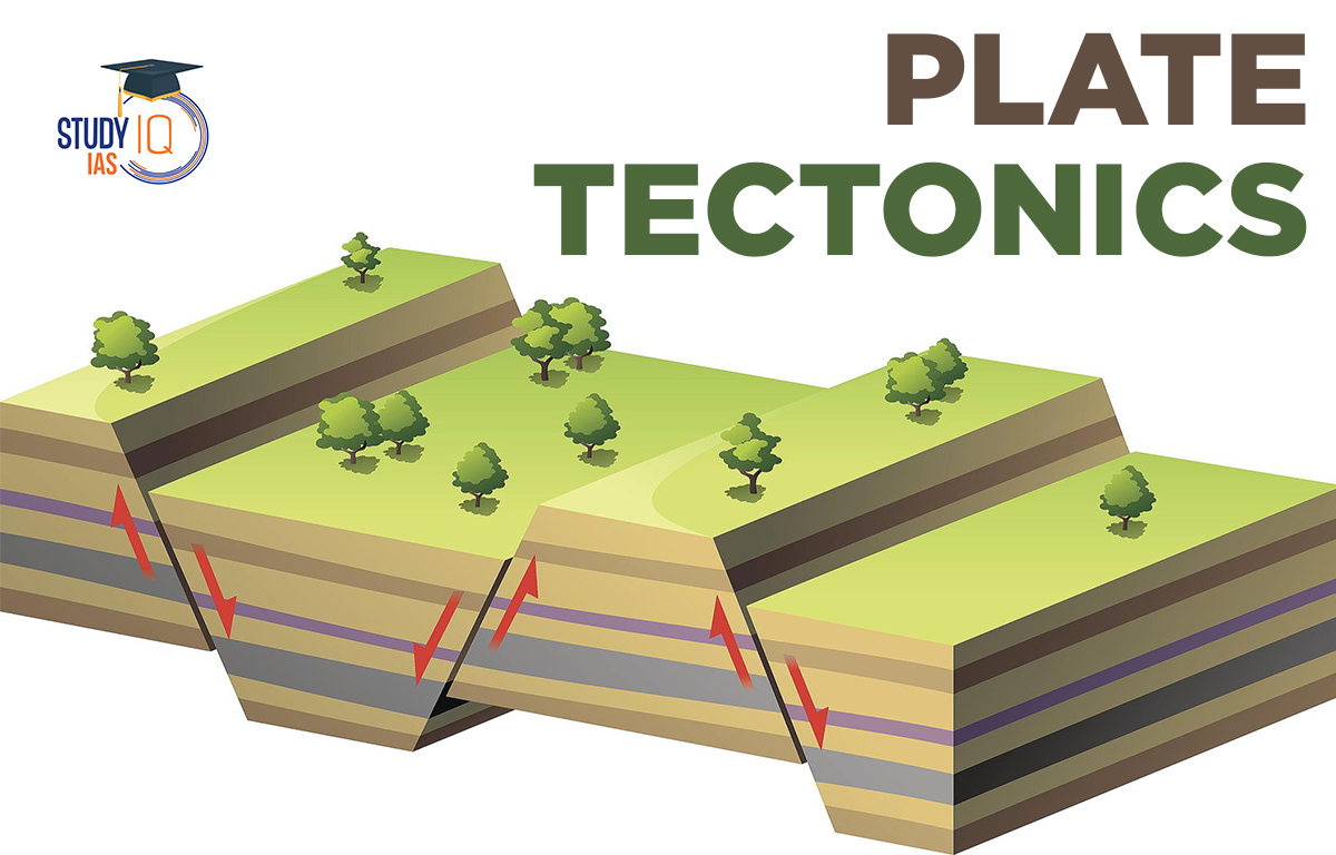
Plate Tectonics Boundaries
The movement of the tectonic plates produces three types of tectonic boundaries:
| Convergent | Where plates move into one another. |
| Divergent | Where plates move apart. |
| Transform | Where plates move sideways in relation to each other. |
Convergent Boundaries
A convergent plate boundary occurs when tectonic plates collide, also known as “destructive borders.” These boundaries often form deep trenches where a heavier plate slides under a lighter one. This process, called subduction, transforms dense mantle material into buoyant magma that rises to the surface. Over millions of years, this rising magma creates a volcanic arc, which is a group of active volcanoes. Convergent plate boundaries can also lead to the formation of mountain ranges and island arcs. If both plates are oceanic, the volcanoes create an island arc parallel to the trench.
Convergence can happen in three different ways:
- Between an oceanic and continental plate
- Between two oceanic plates
- Between two continental plates.
When two plates collide, the denser, thinner oceanic plate is pushed aside by the thicker continental plate. A good example of this oceanic-continental boundary is along the Washington–Oregon coastline, where the North American plate subducts beneath the Juan de Fuca plate. The Mariana Trench, the deepest place on Earth, illustrates oceanic-oceanic convergence, where the smaller Philippine plate subducts beneath the larger Pacific plate. The Himalayan Mountain Range is the best example of continental convergence, formed about 55 million years ago when India collided with Asia, creating the highest mountains on Earth. Today, the Indian and Eurasian plates are still interacting in this region.
Divergent Boundaries
A diverging boundary occurs when tectonic plates pull apart, also known as “productive boundaries.” At these boundaries, rift valleys and seafloor spreading happen. Magma rises from the Earth’s mantle, pushing the plates apart and creating mountains and volcanoes along the seam. This process renews the ocean floor and widens basins.
The Mid-Atlantic Ridge, which separates the American Plate from the Eurasian and African Plates, is the most famous example of a diverging boundary. The world’s oceans are connected by a massive mid-ocean ridge system, making it the largest mountain range at about 10000 miles long. On land, large troughs like the Great Rift Valley in Africa form when plates are pulled apart. If this divergence continues, eastern Africa may eventually separate from the continent, forming a new landmass marked by a mid-ocean ridge.
Transform Boundaries
At a transform boundary, tectonic plates slide past each other horizontally. Sometimes, these plates get stuck at their edges. These boundaries are called conservative because they don’t create or destroy crust, so they do not form mountains or oceans. However, the buildup of stress can lead to large earthquakes, like the one that hit San Francisco in 1906. When the rocks finally crack or slip, it causes the plates to move suddenly, resulting in earthquakes. These slipping areas are known as faults.
Most of Earth’s faults are found in the Ring of Fire, which includes the San Andreas Fault in California. Here, the Pacific Plate moves past the North American Plate, making it one of the most active faults in the Ring of Fire.
Plate Tectonics Theory UPSC
According to the idea of plate tectonics, the mantle, the rocky inner layer above the core, is covered by a number of plates that move across the outer shell of the Earth. When compared to the Earth’s mantle, the plates behave like solid, unyielding shells. The lithosphere is the name given to this thick outer layer. A UPSC aspirant should be well aware of the topic of how various changes happen inside the earth and have knowledge about the various major and minor plates that help to shape the configuration of the earth. The details in the article would help candidates preparing for UPSC 2023.
Other Indian Geography Topics
Other Fundamental Geography Topics
 Sex Ratio in India 2026: Latest Trends, ...
 Civil Disobedience Movement (CDM): Cause...
 Role of Teachers in Educations, Student ...