Table of Contents
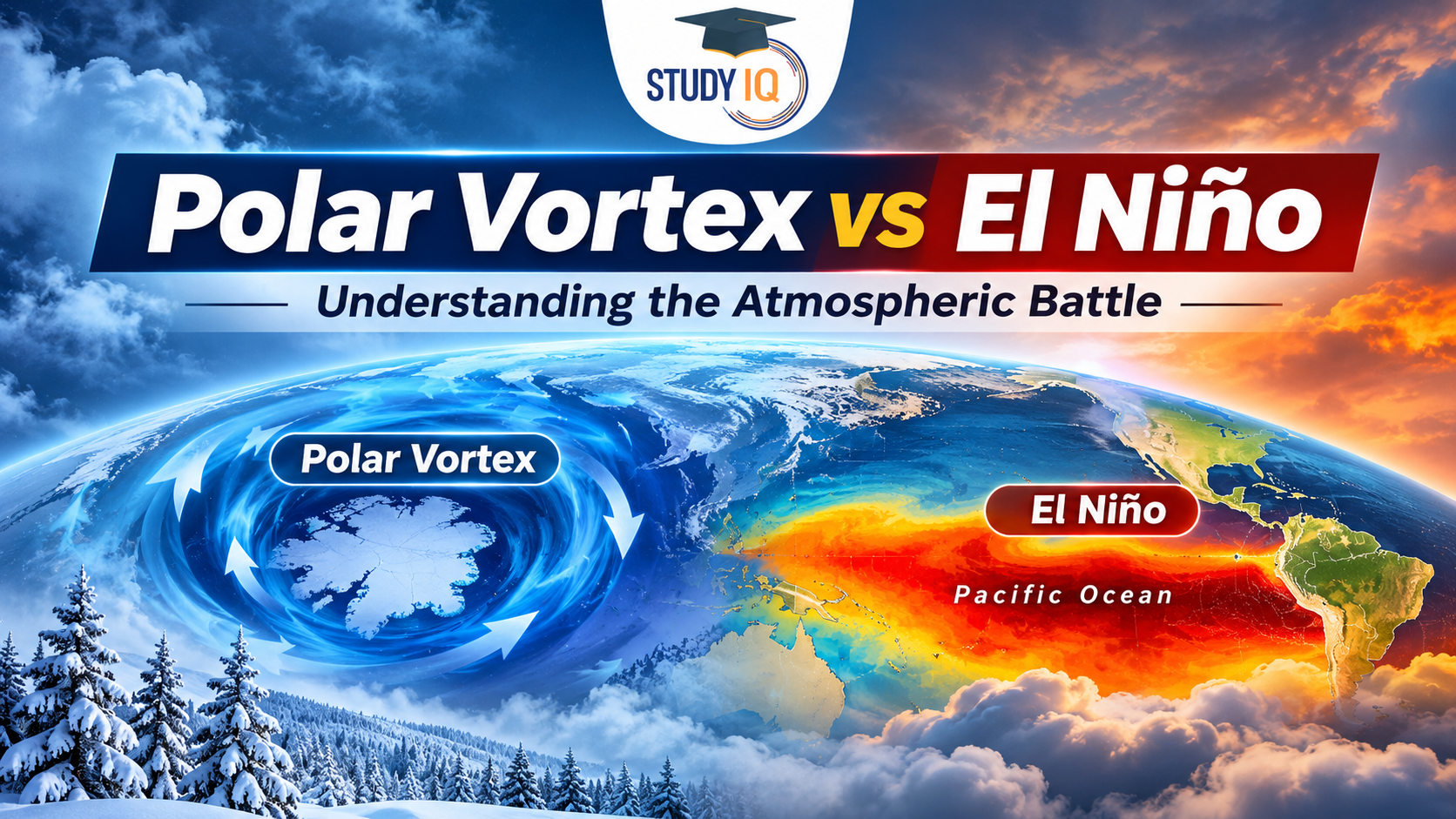
The winter of 2026–27 is attracting scientific attention due to the unusual interaction between two major climate phenomena: the Polar Vortex and El Niño. An exceptionally early disruption of the Polar Vortex is raising the possibility of Arctic cold-air outbreaks across parts of the Northern Hemisphere, while a potentially strong El Niño is increasing the likelihood of warmer global temperatures.
These two phenomena influence atmospheric circulation through different mechanisms. Their interaction could play an important role in determining winter weather patterns across North America, Europe and other parts of the world.
What is the Polar Vortex?
The Polar Vortex is a large-scale circulation of strong winds surrounding the Arctic region. It develops every autumn and winter as temperatures decline over the polar region.
The vortex is most prominent in the stratosphere, approximately 10–50 kilometres above Earth’s surface. It consists of strong westerly winds that help confine extremely cold Arctic air around the North Pole.
The Polar Vortex is generally stronger during winter because of the significant temperature difference between the cold polar region and relatively warmer mid-latitudes.
What Happens When the Polar Vortex Weakens?
Sometimes, the Polar Vortex becomes weaker or distorted, allowing Arctic air to move towards lower latitudes.
One of the major causes of such disruption is Sudden Stratospheric Warming (SSW).
During a major Sudden Stratospheric Warming event:
- Temperatures in the polar stratosphere increase rapidly.
- The strong westerly winds associated with the Polar Vortex weaken.
- In major events, these winds can even reverse direction.
- The circulation may become displaced or split into multiple vortices.
- The probability of cold-air outbreaks in parts of the Northern Hemisphere can increase.
However, a Polar Vortex disruption does not automatically produce extreme winter conditions. Its effects depend on how atmospheric circulation responds in the following days and weeks.
What is El Niño?
El Niño is a climate phenomenon characterised by unusually warm sea surface temperatures in the central and eastern equatorial Pacific Ocean.
It is one of the three phases of the El Niño–Southern Oscillation (ENSO), which also includes La Niña and neutral conditions.
El Niño generally develops when trade winds weaken, allowing warmer surface waters to shift towards the central and eastern Pacific Ocean.
This oceanic warming changes atmospheric circulation, affecting rainfall, temperature and weather patterns across different regions.
Major Impacts of El Niño
- Higher global temperatures: El Niño generally contributes to an increase in global average surface temperatures.
- Indian Monsoon: It is often associated with weaker Indian summer monsoons, although this relationship is not identical in every year.
- Drought conditions: Some regions, particularly parts of Australia and Southeast Asia, may experience reduced rainfall.
- Excessive rainfall: Parts of western South America can experience heavy rainfall and flooding.
- Tropical cyclones: It influences cyclone activity differently across the Pacific and Atlantic basins.
Polar Vortex vs El Niño: Key Differences
| Parameter | Polar Vortex | El Niño |
|---|---|---|
| Nature | Atmospheric circulation system | Ocean-atmosphere climate phenomenon |
| Location | Arctic region | Equatorial Pacific Ocean |
| Main component | Strong polar winds | Abnormally warm ocean waters |
| Atmospheric layer | Primarily stratosphere | Primarily tropospheric atmospheric interactions |
| Main influence | Distribution of Arctic cold air | Global temperature and rainfall patterns |
| Typical winter influence | Can increase the possibility of cold outbreaks | Generally contributes to warmer global temperatures |
| Duration | Seasonal and variable | Usually several months to over a year |
Why Is Winter 2026–27 Unusual?
According to a CNN report updated on November 13, 2026, the Polar Vortex has experienced an unusually early major disruption.
Major Sudden Stratospheric Warming events generally occur between January and March. However, the previous earliest recorded events occurred on November 28, in 1968 and 2025.
The unusually early disruption in November 2026 has raised questions among atmospheric scientists about its potential consequences.
Two competing atmospheric influences are now attracting attention.
1. Polar Vortex Disruption: Possibility of Colder Conditions
The weakening of the Polar Vortex can increase the probability of Arctic air moving southwards.
Parts of eastern North America and northern Europe may experience colder conditions as a result.
The November cold spell is considered an early indication of the changing atmospheric circulation. However, the more significant effects of the disruption, if they materialise, may take several weeks to emerge.
2. El Niño: Influence Towards Warmer Conditions
El Niño generally contributes to higher global temperatures and influences atmospheric circulation across the Northern Hemisphere.
Some scientists believe its warming influence could limit the extent of cold conditions associated with the Polar Vortex disruption.
However, other researchers argue that the behaviour of the Polar Vortex will remain an important factor in determining whether significant cold-air outbreaks occur.
Therefore, the interaction between these two phenomena makes the winter of 2026–27 particularly interesting for climate scientists.
Role of Global Warming
Climate change adds another dimension to this atmospheric interaction.
Global average temperatures have increased significantly over recent decades, resulting in warmer winters in many regions.
Consequently, even when Arctic air moves towards lower latitudes, the resulting cold conditions must be understood against a warmer long-term climatic background.
It is important to distinguish between short-term weather events and long-term climate trends. A temporary cold wave does not contradict global warming.
Possible Implications for India
Although the immediate effects of the Polar Vortex disruption are expected to be more prominent in North America and Europe, changes in large-scale atmospheric circulation can also influence weather patterns in other regions, including India.
Potential areas of influence include:
1. Western Disturbances: Changes in atmospheric circulation may influence the movement and intensity of Western Disturbances, which bring winter rainfall and snowfall to northwestern India and the Himalayan region.
2. Himalayan Snowfall: Changes in winter weather patterns may affect snowfall distribution across the western Himalayas.
3. North Indian Winter: Atmospheric circulation changes can influence temperature patterns and the occurrence of cold waves.
4. Winter Precipitation: Changes in large-scale circulation may influence the distribution of winter rainfall.
However, these are potential indirect influences rather than confirmed predictions. A Polar Vortex disruption does not necessarily mean that India will experience an unusually cold winter.
Conclusion
The interaction between the Polar Vortex and El Niño highlights the complex relationship between atmospheric circulation and oceanic processes.
While a weakened Polar Vortex can increase the probability of Arctic cold-air outbreaks, El Niño generally contributes to warmer global temperatures and modifies atmospheric circulation.
The winter of 2026–27 will provide scientists with an important opportunity to study how these two major climate influences interact. Their combined effects will depend on the evolution of atmospheric circulation, ocean temperatures and broader climate conditions.
Read Also: UPSC Daily Current Affairs 2026
 Astronomy in the Atacama Desert: Telesco...
 Why Below-Average Rains Don’t Rule Out...
 Mahanadi River: Location, Major Tributar...








 WhatsApp