Table of Contents
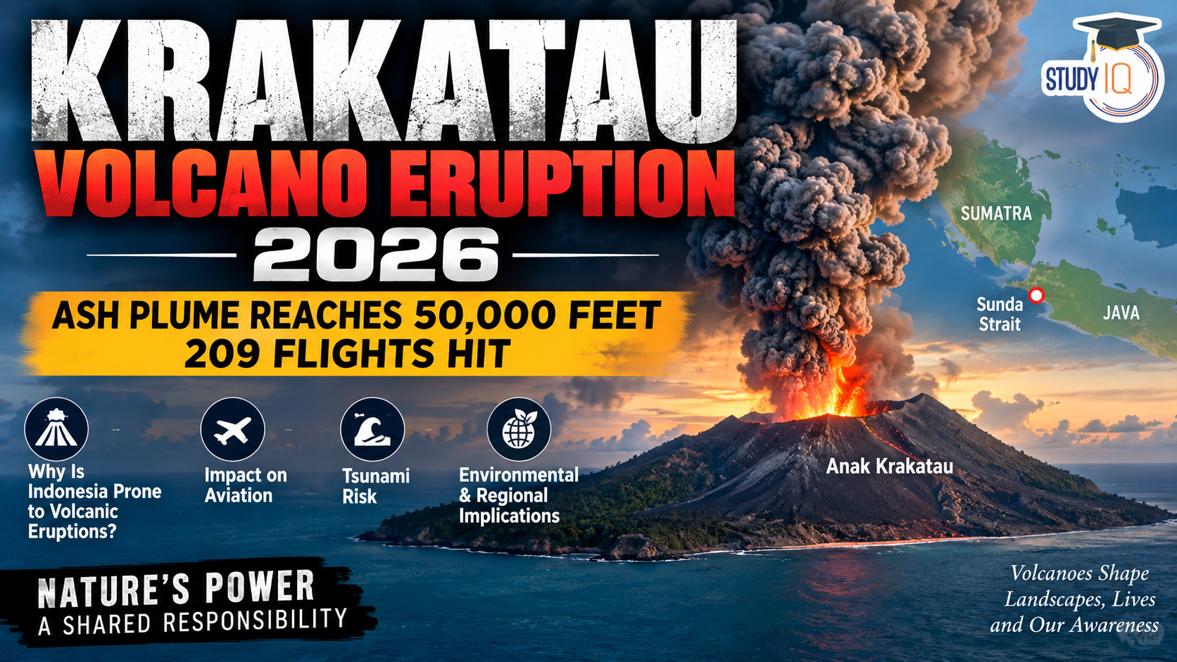
The 2026 eruption of Anak Krakatau Volcano in Indonesia’s Sunda Strait once again highlights the country’s exceptional vulnerability to volcanic hazards. The eruption sent volcanic ash to nearly 50,000 feet, disrupting 209 flights and affecting communities across parts of western Indonesia. The event demonstrates how geological processes can create cascading risks for aviation, settlements, ecosystems and coastal regions.
Read Also: UPSC Daily Current Affairs 2026
Why Is Indonesia Prone to Volcanic Eruptions?
Indonesia’s high volcanic activity is primarily linked to its location at the convergence of several major tectonic plates, particularly the Indo-Australian and Eurasian/Sunda plates, along with complex interactions involving the Pacific-related plate system.
The dominant geological process is subduction. Here, the denser oceanic Indo-Australian Plate moves beneath the Sunda Plate. As the descending slab enters the mantle, water and other volatile materials are released, promoting partial melting in the overlying mantle. The resulting magma rises through fractures in the Earth’s crust and may eventually reach the surface as lava, ash and volcanic gases.
The basic process can therefore be represented as:
Plate convergence → Subduction → Magma generation → Magma ascent → Volcanic eruption
Over geological time, this process has created extensive chains of volcanoes and volcanic islands across Indonesia.
Indonesia and the Pacific Ring of Fire
Indonesia forms an important part of the Pacific Ring of Fire, a broad belt surrounding the Pacific Ocean characterised by intense tectonic activity.
The region experiences frequent:
- Volcanic eruptions
- Earthquakes
- Subduction processes
- Seismic activity
- Formation of volcanic arcs
However, the Ring of Fire itself is not the direct cause of eruptions. Rather, Indonesia’s volcanic activity results from the active tectonic boundaries and subduction zones that form part of this larger geological belt.
Anak Krakatau: A Product of Active Volcanism
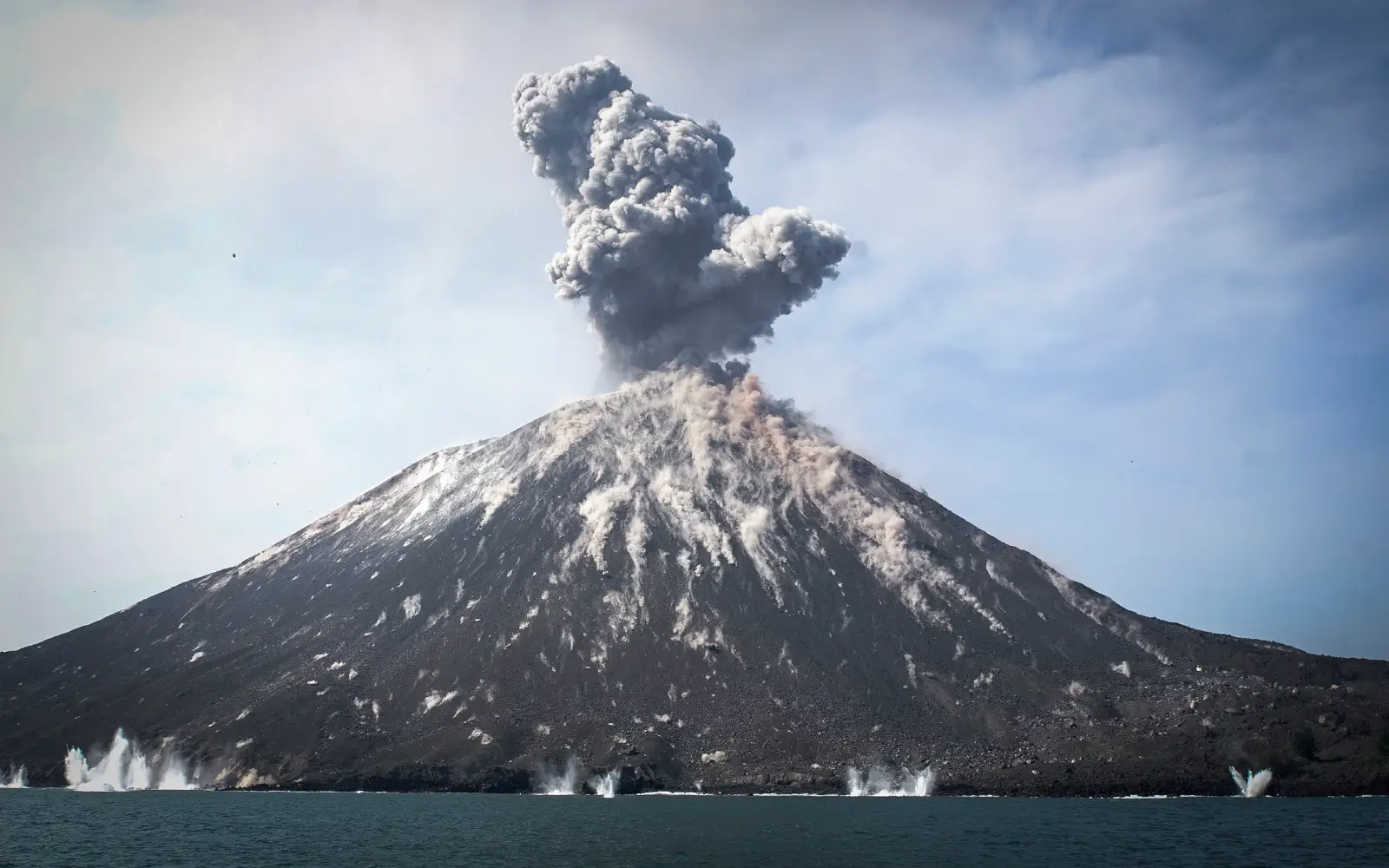
Anak Krakatau, meaning “Child of Krakatau”, lies in the Sunda Strait between Java and Sumatra. It is part of the Krakatau volcanic complex and emerged following the destruction associated with the catastrophic 1883 Krakatau eruption.
The volcano demonstrates that volcanic landscapes are dynamic and can continuously evolve through cycles of eruption, collapse and renewed volcanic growth.
Anak Krakatau is also significant because volcanic activity in the region can generate hazards beyond the volcano itself.
The 2018 Anak Krakatau event demonstrated this dramatically. The collapse of part of the volcanic edifice generated a tsunami that struck coastal areas of Java and Sumatra, killing at least 430 people.
Volcanic Ash: A Regional Hazard
The 2026 eruption illustrates how volcanic hazards can extend far beyond the immediate eruption site.
The ash plume reached approximately 50,000 feet, creating major aviation concerns. Volcanic ash contains extremely fine particles, including volcanic glass, which can damage aircraft engines, interfere with sensors and reduce visibility.
Consequently, volcanic eruptions can disrupt:
- Air transportation
- Agriculture
- Road networks
- Water supplies
- Public health
- Local economies
Fine ash can cause eye and respiratory irritation, while heavy accumulation can affect infrastructure and contaminate water sources.
Why Can Volcanoes Cause Tsunamis?
Volcanic eruptions can sometimes trigger tsunamis when they cause the sudden displacement of seawater.
Important mechanisms include:
- Volcanic flank collapse into the sea.
- Submarine volcanic explosions.
- Pyroclastic flows entering the ocean.
- Collapse of volcanic structures or calderas.
The 2018 Anak Krakatau tsunami is an important example of how a volcanic process can generate a deadly coastal hazard without a conventional earthquake-generated tsunami.
Disaster Management Challenges
Indonesia therefore requires a multi-hazard approach to disaster management.
Continuous monitoring of volcanic activity through seismic instruments, ground observations and satellite technology is essential. Early identification of abnormal activity can provide authorities with valuable time to issue warnings.
Equally important is the integration of volcano monitoring, aviation alerts and tsunami-warning systems.
Communities living near active volcanoes should have:
- Clearly mapped hazard zones
- Evacuation routes
- Emergency shelters
- Regular evacuation drills
- Public awareness programmes
- Access to protective equipment during ashfall
Land-use planning is equally important because uncontrolled development in high-risk zones can transform a natural hazard into a major disaster.
Way Forward
The Indonesian experience demonstrates the need to move from a predominantly response-based approach to anticipatory disaster-risk reduction.
Greater use of satellite-based monitoring, improved ash-dispersion forecasting, real-time communication systems, resilient infrastructure and community preparedness can reduce the human and economic costs of eruptions.
Because volcanic ash can affect international aviation, regional cooperation is also essential for sharing meteorological and volcanic information.
Conclusion
Indonesia’s vulnerability to volcanic eruptions is fundamentally rooted in its tectonic geography. Active subduction zones generate magma and sustain extensive volcanic arcs, while the country’s dense settlements and strategic transport networks increase exposure to volcanic hazards.
The Krakatau eruption therefore represents more than a geological event. It illustrates the interconnected chain of tectonic activity → volcanism → ashfall → aviation disruption → coastal hazards → potential tsunami risk.
While volcanic eruptions cannot be prevented, their consequences can be significantly reduced through scientific monitoring, risk-sensitive planning, early-warning systems and community preparedness.

 Supreme Court on Children's Right to Int...
 Daily Current Affairs PDF 2026: Download...
 Daily Mains Articles 2026 – Updated Da...














 WhatsApp