Table of Contents
Context: The Mahanadi Water Disputes Tribunal (MWDT) has issued a final warning to Odisha and Chhattisgarh to reach a mutual water-sharing consensus or face a judgment based on merits.
Odisha and Chhattisgarh have shown a willingness to amicably resolve the Mahanadi river water dispute, prompting the Mahanadi Water Disputes Tribunal to defer its hearing to allow further negotiations.
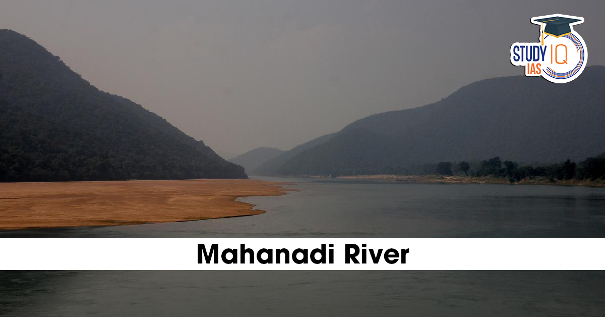
Mahanadi River
- Mahanadi River is a major east-flowing river in India.
- It ranks second to the Godavari River among peninsular rivers in terms of water potential.
- Known as one of India’s most active silt-depositing rivers.
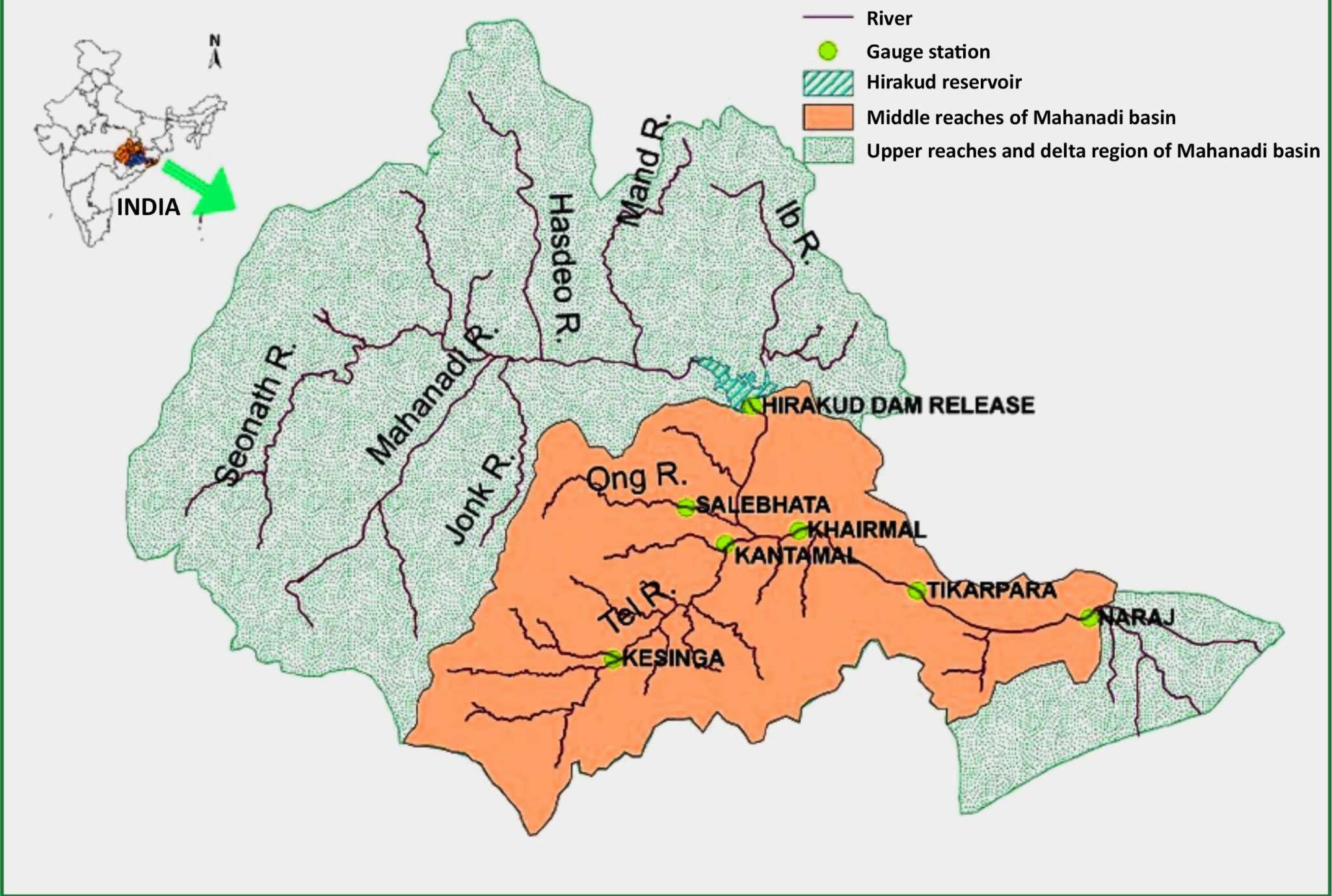
- Origin & Path: Originates in the Sihawa range (Bastar Plateau, Chhattisgarh) and flows 851 km to the Bay of Bengal via a massive delta in Odisha
- Course:
- It originates from the Sihawa hills in Dhamtari district, Chhattisgarh.
- Enters the Odisha plains near Cuttack and forms a delta before draining into the Bay of Bengal near False Point, close to Paradip
- Length: Approximately 860 km.
- Boundaries:
- North: Central Indian hills
- South & East: Eastern Ghats
- West: Maikal hill range
- Basin Area: Spreads across Chhattisgarh, Odisha, and small parts of Jharkhand, Maharashtra, and Madhya Pradesh.
- Hirakud Dam: Located near Sambalpur, it is one of the world’s longest earthen dams, supporting irrigation, power, and flood control.
- The delta sustains critical biodiversity zones, including the Bhitarkanika Mangroves and Chilika Lake.
- Core Dispute: Tension arises from Chhattisgarh’s 500+ upstream barrages; Odisha claims these structures reduce non-monsoon flow, threatening downstream agriculture and the Hirakud reservoir.
Major Tributaries of Mahanadi River
- Seonath
- Jonk
- Hasdeo
- Mand
- Ib
- Ong
- Tel
|
Note |
|
About Interstate Water Disputes Tribunals
- Article 262 (Constitutional Basis): Empowers Parliament to adjudicate disputes over interstate rivers and exclude the jurisdiction of the Supreme Court and other courts in these matters.
- IRWD Act, 1956: Provides the legal framework for the Centre to establish a tribunal when a state request is made, and negotiations fail.
- Tribunal Composition: Typically includes a Chairman and two members nominated by the Chief Justice of India from among Supreme Court or High Court judges.
- Binding Authority: Once published in the Official Gazette, a tribunal’s decision carries the same legal force as a Supreme Court decree.
 Astronomy in the Atacama Desert: Telesco...
 Why Below-Average Rains Don’t Rule Out...
 Wind Energy in India: Potential, Advanta...