Table of Contents
Global Positioning System (GPS)
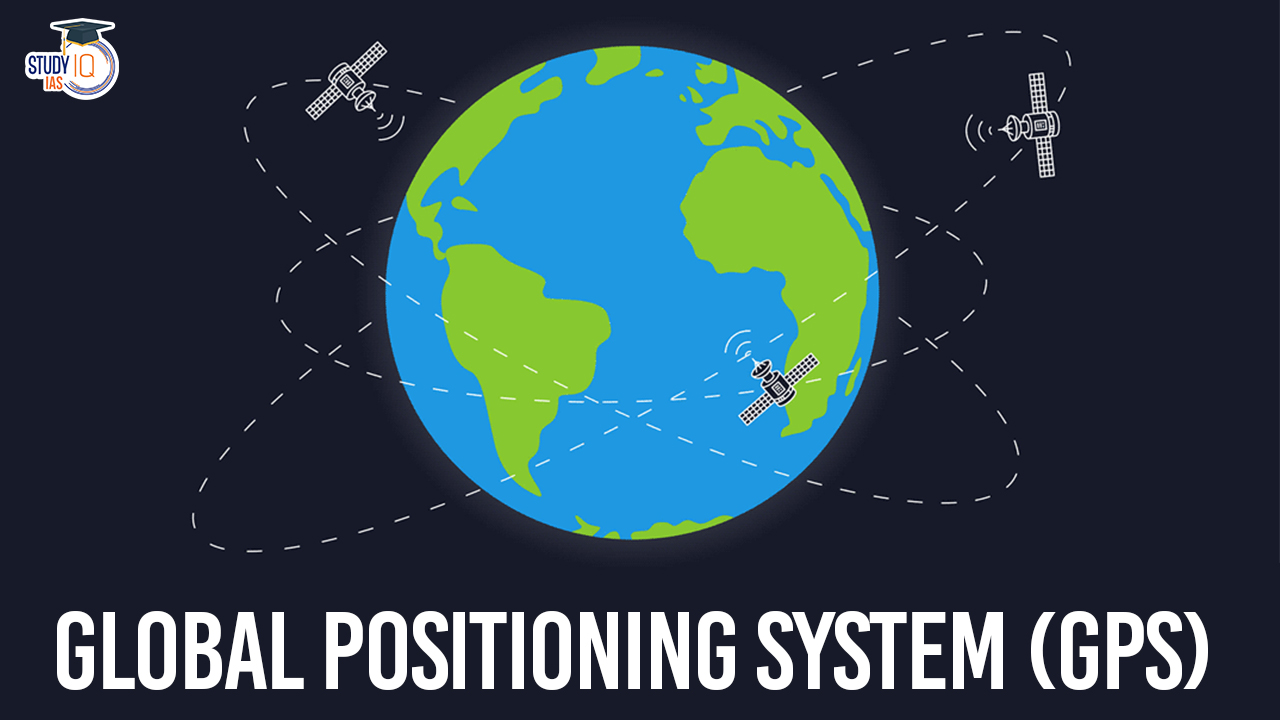
The Global Positioning System (GPS) stands as a testament to human ingenuity, revolutionizing various facets of modern life since its inception in the 1970s. Initiated by the U.S. Department of Defense, GPS has evolved into a cornerstone technology, shaping civilian, military, scientific, and urban realms worldwide. However, GPS is just one component of a broader ecosystem of Global Navigation Satellite Systems (GNSS), with countries like Russia, the European Union, China, and India launching their own systems to complement and enhance global positioning capabilities.
Global Positioning System (GPS) Overview
| Aspect | Description |
| Purpose | Satellite-based navigation system providing accurate positioning, navigation, and timing services globally. |
| Initiated by | U.S. Department of Defense (DoD) in 1973. |
| Segments | – Space: 24 satellites in six orbits ensuring global coverage. – Control: Ground-based stations manage satellite performance and signal accuracy. – User: Diverse sectors. |
| Satellite Orbits | Six orbits at an altitude of 20,200 km above Earth; four satellites per orbit; each satellite completes two orbits daily. |
| Signal Frequency | L1 and L2 frequencies transmitted at 50 bits/second. |
| Accuracy | Horizontal accuracy within a few meters; vertical accuracy within tens of meters for civilian applications. |
| Error Corrections | Relativistic effects, atmospheric interference, and multipath errors are corrected to enhance accuracy. |
| Applications | Navigation, surveying, precision agriculture, disaster management, transportation, telecommunications, and scientific research. |
We’re now on WhatsApp. Click to Join
Evolution of Global Positioning System (GPS)
The GPS system comprises three main segments: space, control, and user. The space segment consists of 24 satellites orbiting the Earth, ensuring global coverage and enabling receivers to access signals from at least four satellites simultaneously for accurate positioning. Ground-based control stations manage satellite performance and signal accuracy, adhering to standardized service protocols. The user segment spans diverse sectors, with billions of GNSS devices in operation globally, showcasing the system’s pervasive influence.
Functionality and Precision of Global Positioning System (GPS)
Functionality of GPS
- Satellite Configuration: Consists of at least 24 satellites orbiting Earth for global coverage.
- Triangulation: Receivers determine their location by receiving signals from multiple satellites simultaneously and triangulating their positions.
- Radio Signal Transmission: Satellites transmit signals containing precise timing and positioning information on specific frequencies.
- Time Synchronization: Atomic clocks on satellites ensure precise timing, crucial for distance calculations.
- Calculation of Position: Receivers calculate their position by measuring the distance to at least four satellites.
- Error Corrections: Advanced techniques mitigate errors from atmospheric interference, signal reflections, and relativistic effects.
Precision of GPS
- Accuracy: Provides horizontal accuracies within a few meters and vertical accuracies within tens of meters for civilian receivers.
- Reliability: Offers robust performance across diverse environments and weather conditions.
- Continuous Improvement: Advancements in technology and error correction algorithms have enhanced GPS accuracy over time.
- Applications: Widely used in navigation, surveying, precision agriculture, disaster management, asset tracking, and scientific research.
Global Navigation Satellite Systems (GNSS)
Beyond GPS, several countries operate their own GNSS, such as Russia’s GLONASS, the European Union’s Galileo, and China’s BeiDou, which offer global coverage. India’s Navigation with Indian Constellation (NavIC) and GPS-Aided Geo Augmented Navigation (GAGAN) systems demonstrate the proliferation of GNSS technologies worldwide. NavIC, with its seven satellites, enables ground-based navigation and utilizes rubidium atomic clocks for precise timing. GAGAN, developed by the Indian Space Research Organisation (ISRO), ensures safety-of-life civil aviation applications and enhances GPS accuracy.
| GNSS System | Country/Region | Number of Satellites | Key Features |
| GPS | USA | 24 | Global coverage, precise timing, widespread use |
| GLONASS | Russia | 24 | Global coverage, alternative to GPS |
| Galileo | European Union | 24 | Global coverage, European initiative |
| BeiDou | China | 30+ | Global coverage, expanding capabilities |
| NavIC | India | 7 | Ground-based navigation, rubidium atomic clocks |
| GAGAN | India | N/A | Safety-of-life civil aviation, GPS augmentation |
Applications of Global Positioning System (GPS)
- Navigation: GPS is widely used for navigation purposes, providing precise location information to users in vehicles, ships, aircraft, and smartphones. It facilitates route planning, real-time tracking, and guidance to desired destinations.
- Surveying and Mapping: GPS technology enables accurate surveying and mapping activities in various industries, including construction, urban planning, land management, and cartography. It allows for the creation of detailed maps, boundary delineation, and infrastructure development.
- Precision Agriculture: GPS is utilized in agriculture for precision farming techniques, optimizing crop yields, resource management, and monitoring field conditions. It enables farmers to precisely apply fertilizers, pesticides, and irrigation, resulting in improved efficiency and sustainability.
- Disaster Management: GPS plays a crucial role in disaster management and emergency response operations. It aids in search and rescue efforts by accurately pinpointing the location of individuals in distress, tracking the movement of relief supplies, and assessing disaster-affected areas.
- Transportation and Fleet Management: GPS is integral to transportation systems and fleet management solutions, enhancing efficiency, safety, and logistics. It enables vehicle tracking, route optimization, congestion management, and real-time traffic updates for commercial fleets, public transit, and logistics companies.
- Outdoor Recreation: GPS technology supports outdoor recreational activities such as hiking, camping, and geocaching by providing users with accurate positioning and navigation capabilities. It allows outdoor enthusiasts to explore unfamiliar terrain safely and efficiently.
- Time Synchronization: GPS serves as a reliable source of precise timing information, synchronizing clocks and timestamps across various applications and systems. It is essential for telecommunications, financial transactions, scientific experiments, and network synchronization.
- Aviation and Aerospace: GPS is extensively utilized in aviation and aerospace industries for navigation, flight planning, and aircraft tracking. It enables pilots to navigate accurately, conduct instrument approaches, and maintain safe separation between aircraft.
- Environmental Monitoring: GPS technology supports environmental monitoring and research initiatives by tracking the movement of wildlife, monitoring changes in ecosystems, and studying natural phenomena such as deforestation, glacier movement, and sea level rise.
- Personal and Asset Tracking: GPS-based tracking devices are used for personal safety, asset tracking, and theft prevention. They allow individuals and businesses to monitor the location and movement of vehicles, equipment, valuables, and vulnerable populations.
Global Positioning System (GPS) UPSC
The evolution and proliferation of Global Navigation Satellite Systems, spearheaded by innovations like GPS, have redefined our sense of location and transformed numerous industries worldwide. From enabling precise navigation to enhancing safety and efficiency across diverse sectors, GNSS technologies continue to shape the modern landscape. As countries further invest in and deploy their own systems, the future promises even greater advancements in global positioning capabilities, ushering in a new era of connectivity and innovation.
 Artificial Intelligence in Diplomacy: Ap...
 Google AI Data Centre in Visakhapatnam: ...
 Drone Warfare: Strategic Shift in Modern...