Table of Contents
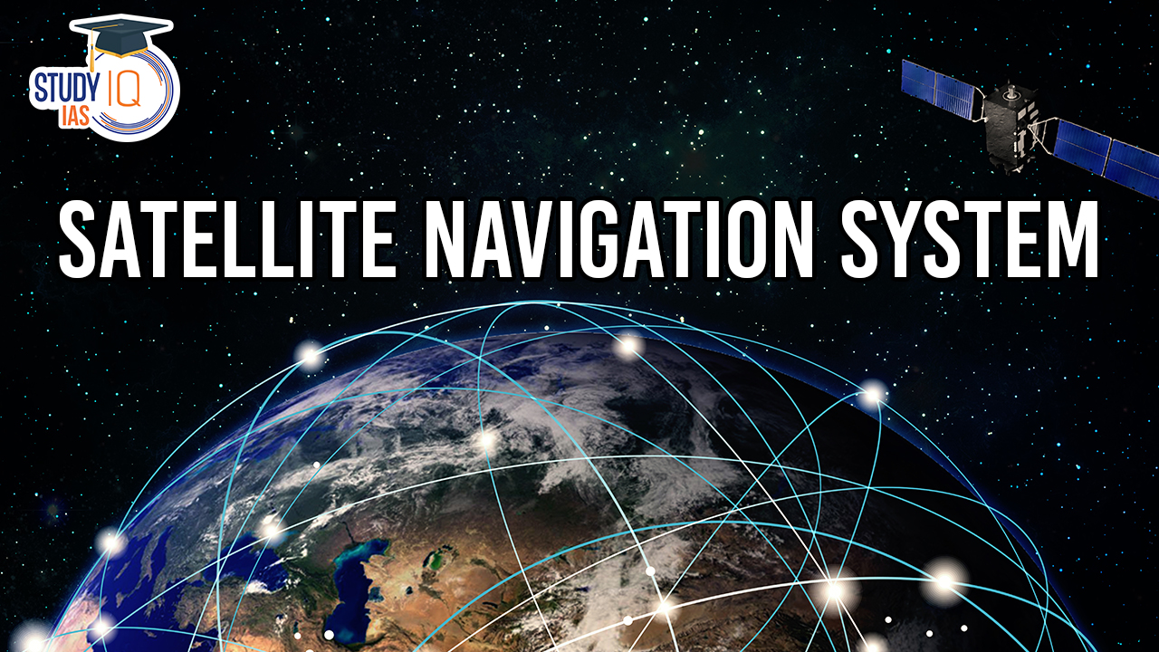
A Satellite Navigation System is a technology that enables a user to determine their precise geographic location using signals from a network of satellites in space. These systems are commonly used for various applications, including navigation, mapping, tracking, and timing synchronization. Know all about the Satellite Navigation System in this Article.
Satellite Navigation System
A satellite navigation system comprises a network of artificial satellites, enabling precise global positioning. Utilizing this system, compact electronic receivers can accurately determine their geographic coordinates, encompassing latitude, longitude, and elevation relative to sea level, with exceptional precision.
Satellite Navigation Systems of World
A Satellite Navigation System is a technology that enables a user to determine their precise geographic location using signals from a network of satellites in space. These systems are commonly used for various applications, including navigation, mapping, tracking, and timing synchronization. The most well-known satellite navigation systems include:
Global Positioning System (GPS)
GPS is one of the most widely used satellite navigation systems. It was developed and is operated by the United States Department of Defense. GPS uses a constellation of 24 or more satellites in medium Earth orbit to provide accurate position and timing information to GPS receivers worldwide. It is used for various purposes, including vehicle navigation, aviation, marine navigation, and outdoor recreational activities.
GLONASS
The Russian Global Navigation Satellite System, GLONASS, is similar to GPS and provides global satellite coverage. It is operated by the Russian Federation and is widely used in Russia and neighboring countries.
Galileo
The European Union’s Galileo system is designed to be an independent global satellite navigation system. It aims to provide highly accurate positioning, navigation, and timing services to users around the world. Galileo is intended to be a civilian system, unlike some aspects of GPS, which have military origins.
BeiDou
The BeiDou Navigation Satellite System (BDS) is China’s satellite navigation system. It has a regional system called BeiDou-2 and a global system known as BeiDou-3. The global system aims to provide global coverage and compete with GPS and other navigation systems.
IRNSS/NavIC
The Indian Regional Navigation Satellite System (IRNSS), also known as NavIC (Navigation with Indian Constellation), is an independent regional satellite navigation system developed by the Indian Space Research Organisation (ISRO). It is primarily designed to provide navigation services in and around India.
Quasi-Zenith Satellite System (QZSS)
QZSS is a Japanese regional satellite navigation system designed to enhance the accuracy and availability of satellite positioning information in the Asia-Oceania region. It works in tandem with GPS and is especially useful in urban and mountainous areas.
These satellite navigation systems work by triangulating signals from multiple satellites to determine a user’s precise position on Earth. GPS receivers and other satellite navigation devices use this information to provide real-time location data, which is invaluable for a wide range of applications, including car navigation, aviation, marine navigation, surveying, and emergency services. Additionally, satellite navigation systems play a crucial role in industries like logistics and transportation, where accurate positioning and timing are essential.
| GNSS System | Description | Operational Since | Number of Satellites | Coverage | Controlling Authority |
| GPS | – The first GNSS system | 1978 | 24 | Global | U.S. Department of Defense |
| GLONASS | – Russia’s global navigation system | 1993 | 24 | Global | Russian Aerospace Defense Forces |
| Galileo | – Developed by the European Space Agency for the European Union | 2016 | 26 | Global | European GNSS Agency |
| BeiDou | – China’s satellite navigation system | 2000 | 35 | Global | China National Space Administration |
| Quasi-Zenith Satellite System (QZSS) | – Japan’s regional navigation system | 2010 | 4 | Asia-Oceania Region | Japan Aerospace Exploration Agency |
| IRNSS (NavIC) | – India’s regional navigation system, later known as NavIC | 2016 | 7 | India | Indian Space Research Organisation (ISRO) |
| Operator | Coverage | Altitude (km) | Satellites in Orbit | |
| GPS | US Space Force | Global | 20,180 | 31 |
| GLONASS | Roscosmos | Global | 19,130 | 24 |
| Galileo | GSA and ESA | Global | 23,222 | 26 |
| BeiDou | CNSA | Global | 21,528 (MEO satellites) 35,786 (GEO and IGSO satellites) |
48 |
| QZSS | JAXA | Regional | 32,000 (perigee) 40,000 (apogee) |
4 |
| IRNSS/NavIC | ISRO | Regional | 36,000 | 8 |
NavIC
NavIC, which stands for Navigation with Indian Constellation, is a regional satellite navigation system developed and operated by the Indian Space Research Organisation (ISRO). It is designed to provide accurate and reliable positioning and timing information over India and the surrounding region.
Key features and information about NavIC
- Constellation: NavIC is composed of a total of seven satellites. Three of these are geostationary, meaning they remain fixed relative to a specific point on Earth, providing continuous coverage over India. The other four are geosynchronous, providing extended coverage over the region.
- Coverage: NavIC primarily covers India and a surrounding area of approximately 1,500 to 2,000 kilometers beyond its borders. The system aims to provide highly accurate and stable positioning services to users within this coverage area.
- Frequency Bands: NavIC utilizes two frequency bands, namely L5-band and S-band, which contributes to its higher accuracy compared to some other navigation systems.
- Applications: NavIC is used for a wide range of applications, including transportation, agriculture, surveying, disaster management, telecommunications, and military purposes. It has proven especially beneficial in rural and remote areas, where terrestrial infrastructure may be limited.
- Accuracy: NavIC boasts an accuracy of better than 20 meters in its primary service region. However, with the use of augmentation systems, such as the GPS-Aided Geo Augmented Navigation (GAGAN) system, NavIC’s accuracy can be further improved.
- Strategic Importance: NavIC is not only a civilian system but also serves strategic and military purposes, enhancing the navigation capabilities of India’s armed forces.
- Regional Collaboration: While NavIC primarily serves the Indian subcontinent, it can be integrated with other global navigation systems like GPS for enhanced accuracy and redundancy.
NavIC is a significant technological achievement for India, offering a reliable and precise positioning system for various sectors, furthering the country’s technological advancements, and reducing its dependency on foreign navigation systems.
Key Components of Satellite Navigation System
Satellites
The system consists of a constellation of satellites that orbit the Earth at various altitudes. These satellites continually transmit signals containing precise timing and location information.
Ground Stations
Ground stations, also known as control stations, monitor the status of the satellites, upload new data and software, and ensure the overall functionality of the GNSS system.
User Receivers
Individuals, vehicles, aircraft, and various other devices are equipped with GNSS receivers. These receivers pick up signals from multiple satellites to determine their location, velocity, and time. The information is often displayed on a map or used for navigation and timing purposes.
Triangulation
GNSS works based on a process called triangulation. By receiving signals from multiple satellites and measuring the time it takes for the signals to travel to the receiver, the GNSS receiver can calculate its precise position. To obtain accurate results, a receiver typically needs signals from at least four satellites.
Accuracy and Precision
The accuracy and precision of a GNSS system depend on factors such as the number and distribution of satellites in view, signal quality, and environmental conditions. In general, GPS and other modern GNSS systems can provide location accuracy within a few meters or even centimeters in some cases.
Applications of Satellite Navigation Systems
- Navigation: The primary use of GNSS is for navigation and wayfinding. It is commonly used in various applications, including vehicle navigation systems, marine navigation, and aviation.
- Surveying and Mapping: Surveyors and cartographers use GNSS technology for precise mapping and land surveying.
- Timing: GNSS systems provide highly accurate time and frequency information, which is essential for applications like telecommunications, financial transactions, and scientific research.
- Agriculture: Farmers use GNSS for precision agriculture, optimizing the use of resources like fertilizers and pesticides.
- Emergency Services: First responders and search and rescue teams use GNSS to locate people in distress and coordinate rescue efforts.
- Geology and Geophysics: Scientists use GNSS for monitoring tectonic plate movement, studying earthquakes, and measuring ground deformation.
- Military and Defense: Many countries use GNSS systems for military applications, including targeting and navigation.
Satellite Navigation Systems UPSC
A Satellite Navigation System, like the widely known Global Positioning System (GPS), uses networks of satellites to provide precise geographic coordinates and time synchronization. GPS, originating from the U.S. Department of Defense in 1978, was the first of its kind and is used worldwide for navigation. Other systems, including Russia’s GLONASS, the European Union’s Galileo, China’s BeiDou, and India’s NavIC, offer similar capabilities. These systems have revolutionized navigation across industries, including transportation, agriculture, and emergency services. They operate through satellite triangulation, providing critical positioning data with applications in technology, research, and military operations.
 Artificial Intelligence in Diplomacy: Ap...
 Google AI Data Centre in Visakhapatnam: ...
 Drone Warfare: Strategic Shift in Modern...