Table of Contents
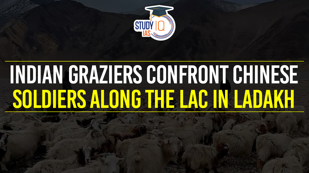
Context: Indian graziers recently had a confrontation with Chinese People’s Liberation Army (PLA) soldiers in the Kakjung area of Ladakh along the Line of Actual Control (LAC).
What is the Line of Actual Control (LAC)?
- Demarcation Purpose: LAC serves as the demarcation line separating Indian-controlled territory from Chinese-controlled territory.
- Sector Division:
- Eastern Sector: Spans across Arunachal Pradesh and Sikkim.
- Dispute: China claims the entire Arunachal Pradesh, referring to it as South Tibet.
- Middle Sector: Located in Uttarakhand and Himachal Pradesh.
- Dispute: The middle sector is relatively less controversial, except for the precise alignment in areas like the Barahoti plains.
- Western Sector: Found in Ladakh.
- Dispute: Major disagreements arise in the western sector, where the LAC’s definition is based on the extent of control exercised by each side, as articulated in Zhou Enlai’s 1959 correspondence with Nehru.
- Eastern Sector: Spans across Arunachal Pradesh and Sikkim.
- Length Discrepancy:
- India’s Perspective: Considers the LAC to be 3,488 km long.
- China’s Perspective: Views the LAC as being approximately 2,000 km long.
- India’s Claim Line: The official boundary marked on maps released by the Survey of India includes both Aksai Chin and Gilgit-Baltistan.
- For India, LAC is not the claim line.
- China’s Claim Line: For China, LAC is the claim line.
We’re now on WhatsApp. Click to Join
History Related to Line of Actual Control (LAC)
- Origin of LAC: The term “LAC” was first mentioned by Chinese Premier Zhou Enlai in a letter to Indian Prime Minister Jawaharlal Nehru in 1959, describing it as the line up to which each country exercises control. This came after initial mentions of such a line in 1956.
- Post-1962 War Adjustments: After the 1962 Sino-Indian War, China claimed it had withdrawn 20 km behind its perceived LAC of November 1959, a claim that was reiterated by Zhou Enlai in communications post-war.
- India’s Rejection of the LAC: India initially rejected the concept of the LAC in 1959 and during the 1962 conflict, questioning its validity and the vagueness of its definition.
- India’s Acceptance of the Concept of the LAC: During a 1993 Agreement To Maintain Peace And Tranquillity At The Border, following discussions between Chinese Premier Li Peng and Indian Prime Minister P.V. Narasimha Rao in 1991.
- This acceptance was not of the 1959 or 1962 LAC but of the LAC at the time of the agreement.
- Map Exchanges and Clarification Attempts: India and China have attempted to clarify the LAC, exchanging maps for the middle sector but facing difficulties and stalling in clarifying the LAC for the western sector.
- Continued Disputes and Standoffs: Despite agreements to maintain peace, disputes and standoffs, such as the 2017 Doklam crisis, continue to occur along the LAC, with China often reiterating its stance on the 1959 LAC.
McMahon Line
- Origin: The McMahon Line was established by Sir Henry McMahon, the Foreign Secretary of British India, during the Shimla Convention held in 1914.
- Geography: This demarcation extends for approximately 890 kilometres marking the boundary between the northeastern Indian region, including parts of Arunachal Pradesh, and Tibet.
- Purpose: To define a clear border between British India and Tibet, thereby addressing and settling the longstanding frontier disputes in the region.
Shimla Agreement (Treaty), 1914
- Participants: The treaty was negotiated among representatives from British India, Tibet, and initially, China.
- However, China eventually withdrew from the convention, disputing Tibet’s authority to conclude treaties and disagreeing with the proposed boundary.
- Outcome: Tawang and other areas in the southern part of Tibet were acknowledged as part of British India, a stance that was accepted by the Tibetan representatives.
- This inclusion, however, is contested by China, which claims Arunachal Pradesh as part of its territory, referring to it as South Tibet.
| Prelims Question |
| Q. Siachen Glacier is situated to the (UPSC Prelims 2020)
(a) East of Aksai Chin (b) East of Leh (c) North of Gilgit (d) North of Nubra Valley Answer: (d) Explanation:
|
 Operation Amistad: India's Humanitarian ...
 World MSME Day 2026: Theme, History, Sig...
 What is a Seismic Doublet? Venezuela's R...