Table of Contents
Context
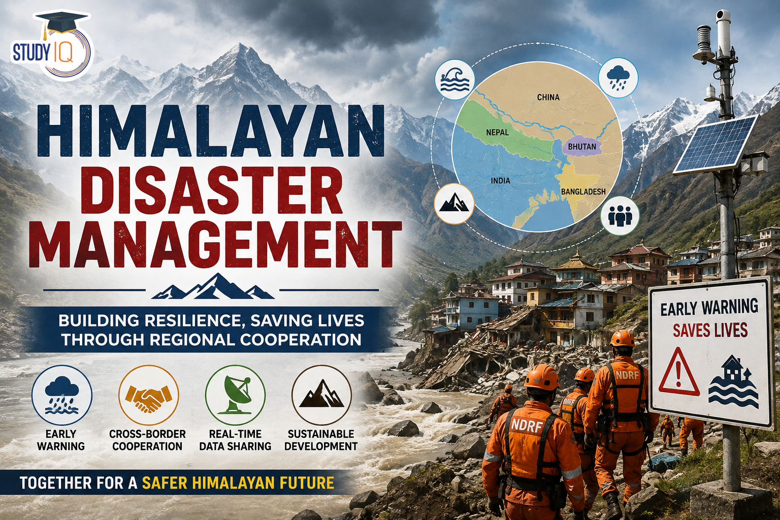
The recent flash floods in Nepal highlight how disasters originating in the Himalayan region can rapidly cross national borders and affect downstream populations, infrastructure and river systems. This underscores the need for joint early-warning systems, real-time data sharing, coordinated rescue operations and basin-level disaster management among Himalayan countries.
Read Also: UPSC Daily Current Affairs 2026
What are the major challenges in managing disasters in the Himalayan region?
- Extreme Inaccessibility of High-Altitude Zones: Many hazards originate in remote and high-altitude areas that are extremely difficult to access, monitor or equip with ground-based observation systems.
- g., The 2026 mudslide at Gyirong Port was linked to a glacier collapse in the high Himalayas of Nepal, highlighting the difficulty of monitoring hazards in inaccessible terrain.
- Ineffective Early-Warning Systems: Existing systems may provide insufficient lead time for extremely rapid hazards such as debris flows, avalanches and flash floods.
- g., A debris flow travelling at around 50 metres per second can leave downstream communities with only minutes to evacuate, making conventional warning systems inadequate.
- Climate-Induced Uncertainty: Early-warning systems often rely heavily on historical patterns, while climate change is increasing the frequency and intensity of extreme and unprecedented events.
- g., Infrastructure designed around historical flood levels may be inadequate when rainfall, glacier instability or cloudburst intensity exceeds past experience.
- Underestimation of Cascading Risks: Himalayan hazards rarely operate in isolation, as one event can trigger multiple secondary disasters across interconnected natural and infrastructure systems.
- g., An avalanche or slope failure can trigger landslides, debris flows, dam failure and downstream flooding, magnifying the overall impact.
- Fragmented Disaster Governance: Disaster management responsibilities are divided across multiple agencies and administrative levels, creating coordination gaps, procedural delays and unclear accountability.
- g., Field-level response may require coordination among the NDMA, SDMAs, Border Roads Organisation, Central Water Commission, Geological Survey of India, Armed Forces and district administrations, complicating rapid decision-making during sudden disasters.
- Limited Cross-Border Collaboration: Himalayan disasters often cross national boundaries, but mechanisms for timely and operational sharing of hazard information remain inadequate.
How has unplanned development increased disaster vulnerability in the Himalayas?
- Slope Destabilisation: Road cutting, tunnelling and hill excavation weaken fragile slopes and increase landslide risk.
- g., In Himachal Pradesh during the 2023 monsoon, the State’s landslide inventory identified road widening, excavation and overburden among factors associated with landslide occurrence, highlighting the risks of construction on unstable slopes.
- Settlement in Hazard Zones: Construction along unstable slopes and river valleys increases exposure to floods, landslides and debris flows.
- g., The Joshimath subsidence crisis of 2023 highlighted concerns over rapid construction, over-concretisation and development pressure in a geologically fragile area, increasing the vulnerability of buildings and infrastructure.
- Drainage Disruption: Roads and buildings alter natural drainage and concentrate runoff, increasing erosion and local flooding.
- g., In the 2013 Kedarnath disaster, intense rainfall and flash floods caused severe damage to settlements, roads and bridges concentrated along the Mandakini valley, demonstrating the high exposure created by development in narrow mountain valleys.
- Loss of Natural Buffers: Deforestation and concretisation reduce vegetation cover and increase runoff, erosion and slope instability.
- g., Rapid urban expansion around Shimla has involved extensive slope modification, construction and reduction of natural drainage spaces, increasing the vulnerability of built-up areas to landslides and intense rainfall.
- Critical Infrastructure Exposure: Dams, roads, bridges and hydropower projects located along narrow valleys face cascading losses from floods, GLOFs and landslides.
- g., The 2023 South Lhonak GLOF in Sikkim damaged bridges, roads and hydropower infrastructure along the Teesta basin, demonstrating how concentration of critical assets in hazard-prone valleys can multiply disaster losses.
Why do Himalayan disasters require cooperation among neighbouring countries?
- Transboundary River Systems: Major Himalayan rivers cross several national boundaries, allowing hazards generated upstream to rapidly affect downstream countries.
- g., A GLOF, rock-ice avalanche or slope failure in the upper reaches of the Indus, Ganga or Brahmaputra basin can develop into a debris flow or flash flood in downstream areas of India or Bangladesh.
- Shared Cryosphere Systems: Glaciers and glacial lakes located in one country can create disaster risks for communities in downstream countries.
- g., Glacial lakes in Tibet or Nepal can pose GLOF risks to downstream regions such as Sikkim, Uttarakhand and Himachal Pradesh, while foreign jurisdictions limit India’s ability to directly install monitoring infrastructure there.
- Cross-Border Information Gaps: Downstream countries depend on upstream observations for effective forecasting, making restricted access to hydrological and cryospheric information a major vulnerability.
- g., Inadequate sharing of hydrological data from upstream river systems can reduce India’s lead time for flood warnings.
- Shared Seismic and Geological System: The Himalayan seismic belt extends across Pakistan, India, Nepal, Bhutan and China, making earthquakes and associated hazards inherently regional.
- g., The 2015 Nepal earthquake generated widespread ground shaking and co-seismic landslides that disrupted transport corridors, river channels and cross-border connectivity.
- Transnational Weather Systems: Western Disturbances and the Indian Summer Monsoon influence weather across multiple Himalayan countries, making isolated forecasting less effective.
- g., Extreme precipitation caused by the interaction of Western Disturbances and monsoonal systems can affect Pakistan, India, Nepal and neighbouring regions, requiring wider atmospheric data sharing.
- Limitations of Bilateral Agreements: Existing bilateral arrangements often focus on specific rivers, seasons or data categories and may not provide continuous crisis-time coordination.
- g., Hydrological data-sharing arrangements between India and China and between India and Nepal may not provide comprehensive, automated and sub-hourly information during rapidly evolving disasters.
Way Forward
- Establish a Himalayan Disaster Management Framework: Create a dedicated regional mechanism for coordinated disaster risk reduction, environmental protection and emergency response across the Hindu Kush Himalayan region.
- g., A framework inspired by the Alpine Convention or the International Commission for the Protection of the Rhine (ICPR) could establish common standards and institutional coordination.
- Treat Critical Hazard Data as a Humanitarian Resource: Hydro-meteorological, seismic and glacial information required for life-saving warnings should be shared as a regional public good rather than being excessively restricted.
- Strengthen Real-Time Data Sharing: Replace limited seasonal arrangements with year-round, automated and near-real-time telemetry covering rivers, glaciers, glacial lakes and weather conditions.
- Develop a Regional Early-Warning System: Integrate satellites, weather radars, river sensors, seismic networks and glacier-monitoring systems into a common warning architecture.
- Promote Joint Cryosphere Monitoring: Use remote sensing and ground-based technologies to jointly monitor glacier retreat, glacial lake expansion and potential GLOF sites.
- Adopt Basin-Level Cooperation: Manage Himalayan rivers as interconnected systems rather than as isolated national stretches, with cooperation on forecasting, reservoir operations and disaster response.
- Conduct Joint Disaster Response Exercises: Regular multinational exercises can improve interoperability among civil protection, armed forces and local authorities in difficult mountain terrain.
- g., Joint drills involving India’s NDRF, Nepal’s disaster-management agencies and counterparts in Bhutan and Bangladesh can focus on debris-flow rescue, rope operations and high-altitude evacuation.
- Strengthen Existing Regional Platforms: Build regional disaster-management cooperation through institutions that already possess Himalayan expertise, networks and technical capacity.
- g.,ICIMOD and its Hindu Kush Himalayan Disaster Risk Reduction (DRR) Hub can provide an institutional platform for regional knowledge-sharing, risk assessment and coordinated disaster-risk reduction.

 Special Summary Revision (SSR) 2026–27...
 Global Hunger Index 2026: India Ranks 10...
 HPSC HCS Final Result 2026 Out, Download...














 WhatsApp