Table of Contents
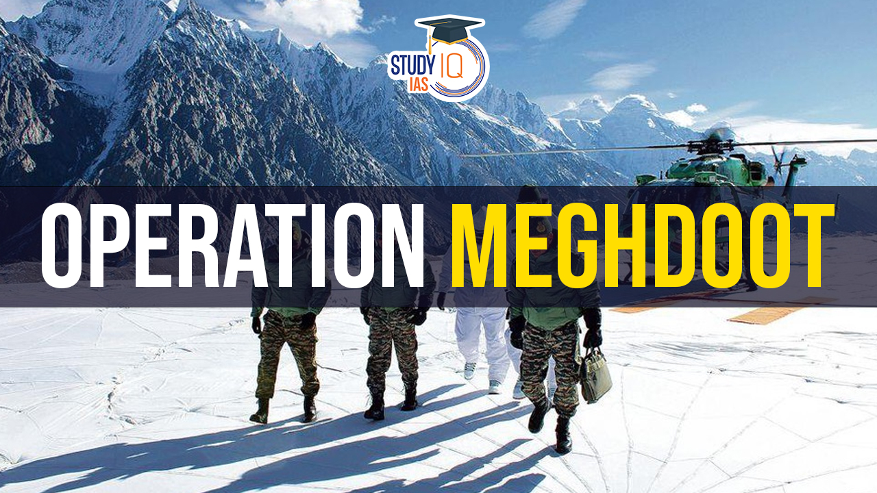
Context: April 13, 2024, marked four decades of the Indian Army’s Operation Meghdoot. Operation Meghdoot was a bold military operation undertaken by the Indian Army in 1984 to capture control of the strategically important Siachen Glacier in Ladakh.
Operation Meghdoot 1984
- Operation Meghdoot was launched on April 13, 1984, by the Indian Army to capture the 76.4 km-long glacier.
- This followed intelligence reports of imminent Pakistani action.
- Mountaineering expeditions by Col. Narinder Kumar in the early 1980s aided planning.
- Indian troops captured strategic points including Bilafond La (18,000 ft) and Bana top (21,153 ft).
- Captured of Quaid post in June 1987 under Operation Rajiv and renamed it to Bana Top in honour of Naib Subedar Bana Singh, who received India’s highest wartime gallantry award.
- IAF played a crucial role with helicopters and transport aircraft (An-12s, An-32s, IL-76s) for troop deployment and supply.
- The ceasefire agreement of 2003 halted firing along the LoC (Line of Control) and Actual Ground Position Line (AGPL).
- Operation Meghdoot continues, making it the longest-continuing operation in the world.
| Siachen Glacier |
|
Recent Developments and Innovations
- Technological improvements have led to better habitat, communication, mobility, logistics, medical support, and green initiatives.
- Climate change impacts are evident with the glacier’s snout receding over the past decades.
- Major enhancements include improved mobile and data connectivity (VSAT), better mobility with All-Terrain Vehicles (ATVs), and upgraded logistical support through heavy-lift helicopters and drones.
- Current Military Capabilities: Nearly all IAF aircraft (Rafale, Su-30MKI, Chinook, Apache, etc.) now operate in support of Operation Meghdoot, providing crucial aerial support to remote troops.
- Medical Advancements: Telemedicine capabilities and state-of-the-art medical facilities at Partapur and Base Camp now include high-altitude pulmonary oedema (HAPO) chambers and oxygen generation plants.
Conclusion
- The Siachen Glacier, at 15,632 feet altitude, is known as the world’s highest battlefield, located on the Saltoro ridge overlooking the Nubra Valley in the Karakoram Range, with Pakistan on the west and China on the east.
- Diplomatic and Military Stances: Siachen and Sir Creek are considered “low-hanging fruits” in the broader India-Pakistan conflict, with ongoing dialogues about demilitarisation.
- India has demanded authentication of the AGPL as a precondition for any demilitarisation, which Pakistan has not accepted.
- Strategic Perspective
- Siachen’s location is seen as crucial for monitoring the collusive threat from China and Pakistan.
- The glacier overlooks the Shaksgam Valley, which was ceded by Pakistan to China, and proximity to the 1962 India-China war zone adds to its strategic complexity.
 Operation Amistad: India's Humanitarian ...
 World MSME Day 2026: Theme, History, Sig...
 What is a Seismic Doublet? Venezuela's R...