Table of Contents
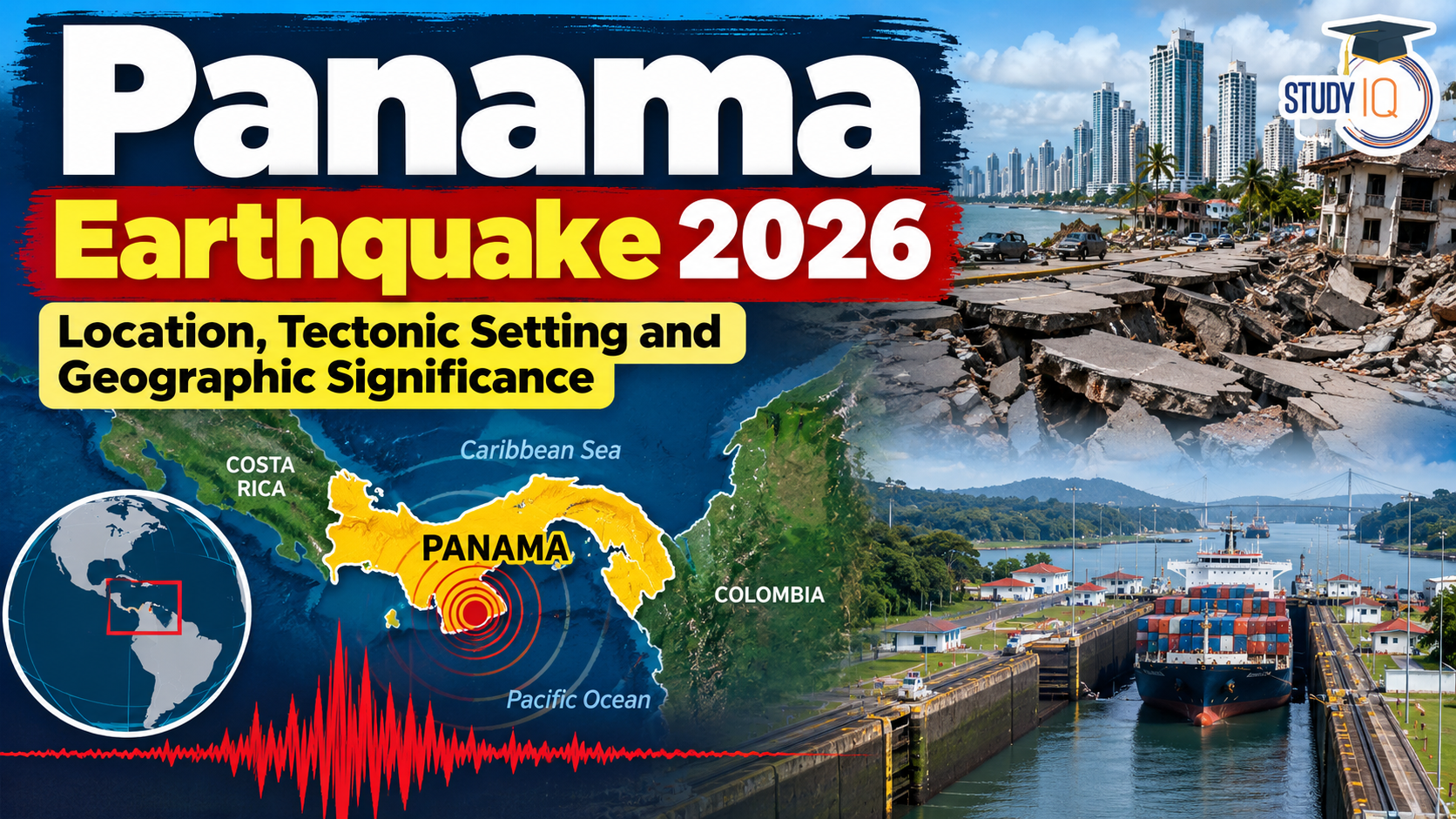
Panama has been in the news following reports of a powerful earthquake with a preliminary magnitude of 7.7. The reported tremors and structural damage have drawn attention to the country’s geographical location and tectonic setting.
Located in Central America, Panama occupies a strategically important position between the Caribbean Sea and the Pacific Ocean. It is globally significant because of the Panama Canal, a major international shipping route connecting the Atlantic and Pacific oceans.
Read Also: UPSC Daily Current Affairs 2026
Where Is Panama Located?

Key geographical facts about Panama
| Geographical feature | Details |
|---|---|
| Region | Central America |
| Capital | Panama City |
| Western neighbour | Costa Rica |
| Eastern neighbour | Colombia |
| Northern coastline | Caribbean Sea |
| Southern coastline | Pacific Ocean |
| Major lake | Gatun Lake |
| Longest river | Tuira River |
| Major mountain system | Cordillera Central |
| Strategic waterway | Panama Canal |
Panama’s location is particularly important because ships can cross the isthmus through the Panama Canal instead of travelling around the southern tip of South America.
Panama Earthquake 2026: Latest Updates
According to the United States Geological Survey (USGS), a magnitude 7.7 earthquake struck near Pitaloza Arriba in southern Panama on 9 October 2026. The recorded epicentre was approximately 12 km west-southwest of Pitaloza Arriba, at coordinates 7.587°N, 80.769°W, and the earthquake occurred at a depth of 12.6 km.
Subsequent aftershocks were recorded, and reports described damage to homes, roads and other infrastructure. Reuters reported on 11 October that more than 200 aftershocks had occurred and that the Panama Canal remained operational.
The event highlights the importance of seismic monitoring, resilient infrastructure and disaster preparedness, even in countries not usually associated with the world’s most prominent earthquake zones.
Tectonic Setting of Panama
Panama lies in a geologically complex region where several tectonic plates and fault systems interact. This makes parts of the country vulnerable to earthquakes.
Major tectonic influences
-
Caribbean Plate: Panama is situated along the southern margin of the Caribbean Plate, within a complex zone of tectonic deformation.
-
Cocos Plate: The Cocos Plate moves beneath the Caribbean region along the Middle America Trench, contributing to seismic activity in Central America.
-
Nazca Plate: Its interactions with the South American Plate contribute to the broader tectonic activity of the eastern Pacific region.
-
Local fault systems: Faults within and around Panama can generate earthquakes independently of the major subduction zones.
Reports linked the October 2026 earthquake to the Azuero-Soná Fault System. This association should be understood in the context of Panama’s complex regional tectonics rather than assuming that every earthquake there is directly caused by the same plate boundary.
Why can shallow earthquakes be destructive?
The October earthquake occurred at a depth of approximately 12.6 km. Shallow earthquakes can produce intense ground shaking near the epicentre because seismic energy travels a relatively short distance before reaching the surface.
The extent of damage also depends on soil conditions, building quality, population exposure and the design of roads, bridges and other infrastructure.
Geographic Significance of Panama
1. The Isthmus of Panama
The Isthmus of Panama is a narrow land bridge connecting North and South America. Its formation played a major role in the exchange of species between the continents and altered ocean circulation over geological time.
2. The Panama Canal
The Panama Canal is one of the world’s most important maritime routes. It connects the Atlantic and Pacific oceans through a system of locks and channels.
Its strategic importance includes:
-
Reducing shipping distances between major global markets.
-
Supporting international trade and maritime logistics.
-
Influencing global supply chains and shipping costs.
-
Making infrastructure resilience essential for the world economy.
Although the October 2026 earthquake raised concerns about infrastructure safety, Reuters reported that canal operations remained unaffected.
3. Gatun Lake
Gatun Lake is an artificial freshwater lake that forms a central part of the Panama Canal system. It supplies water used by the locks and supports navigation through the canal.
Water availability is critical to canal operations. Therefore, Panama’s geography connects seismic resilience with wider concerns about water security, climate variability and international trade.
4. Rivers and Mountain Ranges
The Cordillera Central runs through Panama, creating variations in elevation, rainfall and local climate. The Tuira River, located in eastern Panama, is generally identified as the country’s longest river.
These physical features are relevant to drainage, ecosystems, settlement patterns and disaster vulnerability.
Environmental and Disaster Management Implications
The Panama earthquake highlights several important issues for disaster risk reduction.
-
Infrastructure resilience: Earthquake-resistant building standards and regular structural inspections can reduce damage.
-
Early warning and monitoring: Seismic networks and rapid public communication help authorities respond effectively.
- Landslides and liquefaction: Earthquakes can destabilise slopes and water-saturated soils, affecting roads and settlements. USGS preliminary assessments identified potential ground-failure hazards associated with this event.
-
Critical infrastructure protection: Ports, airports, roads, bridges and canals require risk assessments and emergency continuity plans.
-
International cooperation: Disaster response can involve technical assistance, emergency funding and cross-border coordination.

 Project Seabird Phase IIA: India’s Nav...
 Daily Current Affairs PDF 2026: Download...
 Child Marriage in India: Causes, Impacts...














 WhatsApp