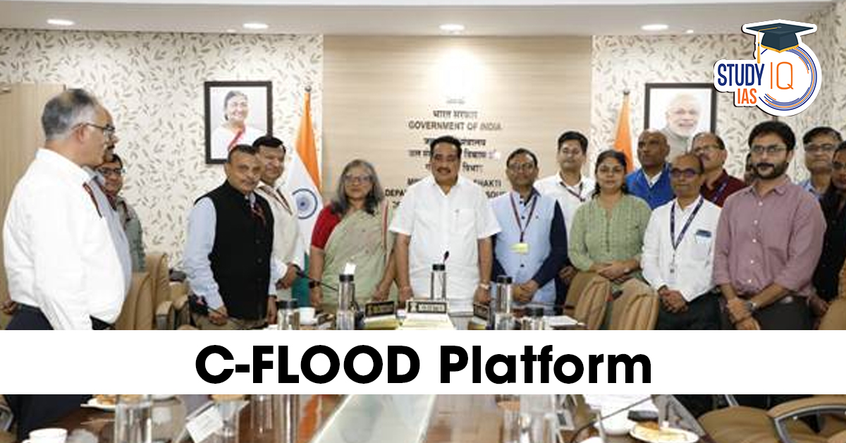
Context: Union Minister Jal Shakti inaugurated the C-FLOOD Platform.
About C-FLOOD Platform- A Unified Inundation Forecasting System
- Developed By:
- C-DAC Pune (Centre for Development of Advanced Computing)
- Central Water Commission (CWC), under the Ministry of Jal Shakti.
- Executed under: National Supercomputing Mission (NSM), steered by:
- Ministry of Electronics and Information Technology (MeitY)
- Department of Science and Technology (DST)
- Aim: To improve flood forecasting, management, and disaster response across India.
Key Features of C-FLOOD
- Web-based platform providing 2-day advance flood forecasts.
- Offers flood inundation maps and water level predictions at the village level.
- Acts as a unified system, integrating flood modelling data from various national and regional agencies.
- Designed as a decision-support tool for disaster management authorities.
Geographical Coverage
- Currently operational in the Mahanadi, Godavari, and Tapi river basins.
- Plans to expand coverage to more river basins in future phases.
Technical Highlights
- Uses advanced 2D hydrodynamic modelling to simulate flood scenarios.
- Simulations for the Mahanadi Basin are run on High-Performance Computing (HPC) infrastructure at C-DAC Pune.
- Outputs for Godavari and Tapi basins are developed by the National Remote Sensing Centre (NRSC) under the National Hydrology Project (NHP).


 Mukhyamantri Majhi Ladki Bahin Yojana, O...
 PM MITRA Parks, Objectives, Key Features...
 Rashtriya Gokul Mission (RGM), Objective...


