Table of Contents
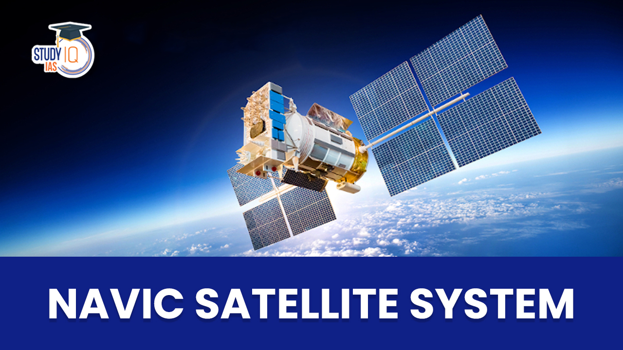
Context: ISRO has successfully launched the first of the second-generation satellites for its navigation constellation, known as NavIC.
More on the News
- The satellite is the heaviest in the constellation and was launched by a Geosynchronous Satellite Launch Vehicle (GSLV) rocket.
- The satellite will replace an older, partially defunct satellite in the IRNSS constellation. It will be ISRO’s ninth satellite for the NavIC constellation but is considered to be the eighth because the intended replacement had failed to deploy in 2018.
- The launch of second-generation satellite assumes significance since the remaining seven satellites in the constellation are nearing their end life and must be replaced in the coming days.
- Features of the new satellite:
- Nomenclature: Named NVS-01, it will be the first of ISRO’s NVS series of second-generation satellite. It is heavier than the previous satellites in the constellation.
- Atomic clock: The satellite will have a Rubidium atomic clock, which has been indigenously developed by Space Application Centre-Ahmedabad. Only handful of countries possesses this technology.
- L1 frequency: Apart from the L5 and S frequency signals sent by existing satellites, the second-generation satellite will use L1 frequency, which enables use of the regional navigation system in wearable devices and personal trackers.
- Extended mission life: The second-generation satellites are expected to have mission life of more than 12 years. The existing satellites have a mission life of 10 years.
Significance of Atomic Clock
- Satellite-based positioning system determines the object location by accurately measuring the time required for a signal to travel to and back from it using the atomic clocks on board.
- Satellites will no longer able to provide accurate locations in case of failure of atomic clocks.
What is NavIC Navigation System?
- The Indian Regional Navigation Satellite System (IRNSS), known operationally as NavIC (Navigation with Indian Constellation), is the navigational system operated by ISRO.
- The area under its coverage include whole of India reaching west to include Saudi Arabia, north and east to include all of China and south to include both Mozambique and Western Australia.
- Features of NavIC:
- Higher accuracy: NavIC open signals have accuracy of upto 5 metres and restricted signals will be even more accurate. GPS by comparison is accurate up to around 20 metres.
- Range: NavIC navigational system provides coverage over the Indian landmass and up to a radius of 1,500 km around it.
- Can work in hard-to-reach areas: In its range area, NavIC signals will be available in even hard-to-reach areas.
- Geo-stationary orbit: NavIC uses satellites placed in high geo-stationery orbit, allowing them to move at a constant speed relative to Earth, so that they can look over the same region on Earth.
- Optimal signal receiving: NavIC signals in India are received at a 90-degree angle, making it easier for them to reach devices located even in congested areas, dense forests, or mountains.

- Applications of NavIC:
- Civil applications:
- Positioning through mobile phones: Many Smartphone chipsets have integrated NavIC receivers, which can effectively replace the existing GPS for positioning services.
- Logistics sector: NavIC would revolutionize logistics sector in India as it would help with better optimization and route suggestions. Route optimization will reduce cost and also pollution.
- Promote startups: There is ample scope for startups to emerge by keeping navigation services at the core of their business. This will also reduce cost for companies that utilize navigational services of GPS.
- Fleet tracking: Fleet tracking is very useful during mining and transport operations to reduce cost and optimize resources.
- Navigation services: NavIC can provide navigational services to aerial, marine and terrestrial transports due to its better accuracy.
- Military applications:
- Enemy positions: A domestic navigational system such as NavIC will help India is tracking enemy positions during war.
- Border security: The borders of the country can be kept under vigilance using an indigenous tracking system. It will prevent surprise attacks by enemies.
- Weapon tracking: Navigational systems can also be used to track fired weapons and also current position of our military assets.
- Drone technology: Drones can be controlled and tracked using such navigational satellites, improving their military capabilities tremendously.
- Civil applications:
- Importance of NavIC:
- Reduce dependence on GPS
- Provide better control of homeland and international border security
- Provide customized service for fishermen, police, military, and air/water transport.
- Expand influence over neighbouring areas, which comes under the range of NavIC
What are Navigational Systems?
- Navigational Systems are satellite constellations that broadcast positioning, navigation and timing data over a region or completely across the globe.
- Majority of these constellations make use of radio frequencies in the L-Band to transmit their signals to receiver on the ground.

Other Navigation systems across the world
- Global Positioning System (GPS): GPS is operated by the U.S. Space Force. Its first satellite was launched in 1978, and its first series of satellites became fully operational by 1993.GPS consists of 31 satellites.
- GLONASS: Russian-owned GLONASS is operated by Roscosmos State Corporation for Space Activities, a department of the Russian government.
- It was launched fully in 1995, with full satellite coverage over Russia in 2010. The constellation consists of 24 satellites.
- Galileo: Owned by the European Global Navigation Satellite Systems Agency, Galileo consists of 26 satellites in orbit, with a plan to reach 30 satellites by 2021.
- BeiDou: Launched first in 2000, BeiDou is owned by China National Space Administration (CNSA). Currently, it has 48 satellites in the orbit.
- QZSS: Launched first in 2010, the Quasi-Zenith Satellite System (QZSS) is operated by the Japan Aerospace Exploration Agency (JAXA).
- It does not provide global coverage but instead maintains Asia-Oceana regional coverage between Japan and Australia.
 East Asia Summit (EAS): Members, Objecti...
 Right to Protest in India: Constitutiona...
 Fast Track Courts (FTCs): Meaning, Objec...