Table of Contents
The Department of Posts (DoP) has signed a Memorandum of Understanding (MoU) with MapMyIndia to utilise its advanced mapping platforms and geospatial products for supporting DIGIPIN, a landmark initiative aimed at transforming India’s postal addressing system with high accuracy and digital integration.
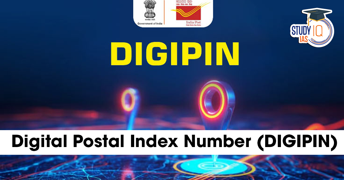
What is DIGIPIN?
DIGIPIN (Digital Pincode) is a unique ten-character alphanumeric code that can be generated for any property sized around 4×4 square meters across India.
Developed by:
-
Department of Posts
-
Indian Institute of Technology (IIT) Hyderabad
-
National Remote Sensing Centre (ISRO)
Key Features of DIGIPIN
-
High Precision: Maps exact properties or small plots with pinpoint accuracy.
-
Open-Source & Interoperable: Designed for universal adoption across platforms.
-
Privacy-Focused: Encodes only the geographic coordinates of the property, without storing personal data.
-
Supplementary System: It will not replace the traditional six-digit PIN code, but act as an extra precision layer for logistics, deliveries, and emergency services.
Significance of the MoU with MapMyIndia
-
Enhanced Mapping Integration: Leverages MapMyIndia’s indigenous mapping technology.
-
Boost to E-Governance: Facilitates more accurate postal services, emergency response, disaster management, and last-mile delivery.
-
Logistics & E-commerce Advantage: Reduces delivery errors and improves efficiency for businesses and government services.
-
Digital India Push: Strengthens India’s digital infrastructure by linking geospatial data with postal services.
Why DIGIPIN Matters
-
Addresses India’s Complex Geography: Rural areas, slums, and informal settlements often lack precise postal addresses. DIGIPIN provides a digital identity to every property.
-
Supports Smart Governance: Useful for property taxation, land record management, and utility services.
-
Global Standardisation: Brings India closer to international practices of digital mapping and addressing systems.
Conclusion
The launch of DIGIPIN, backed by the Department of Posts, IIT Hyderabad, ISRO, and now MapMyIndia, is a game-changer for India’s postal and digital infrastructure. By enhancing accuracy, interoperability, and privacy, it marks a crucial step toward precision governance, efficient logistics, and Digital India’s long-term vision.
 ISRO Launches Mission MITRA in Ladakh: A...
 Disaster Management in India, Classifica...
 Good Friday 2026: Date, History, Meaning...